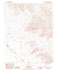
1985 Map of Shenandoah Peak
USGS Topo · Published 1985About this map
The Spring Mountains dominate the eastern landscape of this mid-1980s survey, overlooking a desert floor defined by the Mesquite Valley and the Von Schmidt Nevada-California Boundary. This region is a dense network of historic mining operations, showing a transition from the elevated peaks to the flatlands of Sandy Valley. Prospectors and mining historians can find the locations of numerous hard-rock sites, including the Keystone Mine, Oro-Amigo Mine, and the Smithsonite Mine.
Find a feature on this map
31 named features on this map. Tap any name to fly to it.
Don’t see what you’re looking for? This feature index may not catch every label — zoom into the map to look around manually.
Map Details
Editions of this 1985 Shenandoah Peak Map
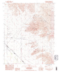
2 editions found
Other maps of this area

1910 · Ivanpah
USGS Topo · 1:250,000

1912 · Ivanpah
USGS Topo · 1:250,000

1942 · Ivanpah
USGS Topo · 1:250,000

1947 · Kingman
USGS Topo · 1:250,000

1948 · Kingman
USGS Topo · 1:250,000

1954 · Kingman
USGS Topo · 1:250,000

1955 · Kingman
USGS Topo · 1:250,000

1955 · Roach Lake
USGS Topo · 1:62,500

1956 · Clark Mountain
USGS Topo · 1:62,500

1956 · Shenandoah Peak
USGS Topo · 1:62,500