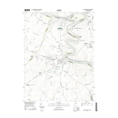
2014 Map of Shepherdstown
USGS Topo · Published 2014About this map
Shepherdstown sits prominently along a sharp bend of the Potomac River, anchoring a landscape where the history of West Virginia and Maryland converges. This area is defined by its deep spring-fed hydrology, with named water sources such as Morgan Spring and Falling Spring supporting early farmsteads and settlements. The presence of Shepherd Univ and numerous historic burial sites, including the Shepherds Graveyard and Buckles-Reverend Black Cem, highlights the long-standing community foundations that persist alongside modern residential developments like Mecklenberg Heights.
Find a feature on this map
179 named features on this map. Tap any name to fly to it.
Don’t see what you’re looking for? This feature index may not catch every label — zoom into the map to look around manually.
Map Details
Editions of this 2014 Shepherdstown Map
This is the sole edition of this map. No revisions or reprints were ever made.
Other maps of this area

1884 · Harpers Ferry
USGS Topo · 1:125,000

1891 · Harpers Ferry
USGS Topo · 1:125,000

1893 · Harpers Ferry
USGS Topo · 1:125,000

1908 · Middletown
USGS Topo · 1:48,000

1909 · Hagerstown
USGS Topo · 1:48,000

1910 · Antietam
USGS Topo · 1:62,500

1912 · Hagerstown
USGS Topo · 1:62,500

1912 · Williamsport
USGS Topo · 1:62,500

1914 · Martinsburg
USGS Topo · 1:48,000

1916 · Martinsburg
USGS Topo · 1:62,500