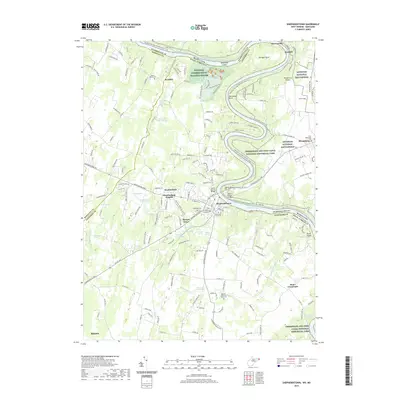
2019 Map of Shepherdstown
USGS Topo · Published 2019About this map
The Potomac River carves a winding path through the borderlands of West Virginia and Maryland, creating dramatic geographic features like Horseshoe Bend and Terrapin Neck. This region is defined by its deep ties to American history, where the Chesapeake and Ohio Canal and its namesake National Historical Park parallel the river's northern bank. In West Virginia, the town of Shepherdstown serves as a central hub, surrounded by a landscape dotted with significant cultural sites such as the National Conservation Training Center and numerous family and community burial grounds, including the Reformed Graveyard and Buckles Reverend Black Cem.
Find a feature on this map
69 named features on this map. Tap any name to fly to it.
Don’t see what you’re looking for? This feature index may not catch every label — zoom into the map to look around manually.
Map Details
Editions of this 2019 Shepherdstown Map
This is the sole edition of this map. No revisions or reprints were ever made.
Other maps of this area

1884 · Harpers Ferry
USGS Topo · 1:125,000

1891 · Harpers Ferry
USGS Topo · 1:125,000

1893 · Harpers Ferry
USGS Topo · 1:125,000

1908 · Middletown
USGS Topo · 1:48,000

1909 · Hagerstown
USGS Topo · 1:48,000

1910 · Antietam
USGS Topo · 1:62,500

1912 · Hagerstown
USGS Topo · 1:62,500

1912 · Williamsport
USGS Topo · 1:62,500

1914 · Martinsburg
USGS Topo · 1:48,000

1916 · Martinsburg
USGS Topo · 1:62,500