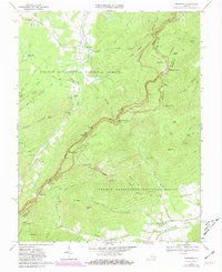
1967 Map of Sherando
USGS Topo · Published 1981About this map
Mount Torry Furnace stands as a landmark of industrial history within the George Washington National Forest, marking a landscape defined by the steep transition from the Blue Ridge crest to the valley floors below. This 1967 survey, updated in the early 1980s, details a corridor of heavy recreation and travel, where the Blue Ridge Parkway and the Appalachian Trail snake along the high ridges. In the lowlands, small settlements like Sherando and Wintergreen are anchored by local institutions such as Sherando Ch and the Wintergreen Cem. The map reveals the early development of the Rockfish Valley, including the Golf Course and the cluster of homes at Beech Grove, while historic routes like the Howardsville Turnpike trace the movement of goods and people across the gap near Humpback Mtn.
Find a feature on this map
77 named features on this map. Tap any name to fly to it.
Don’t see what you’re looking for? This feature index may not catch every label — zoom into the map to look around manually.
Map Details
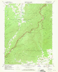
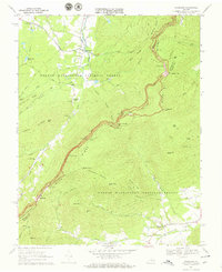
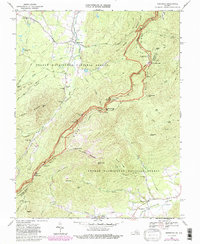
Editions of this 1967 Sherando Map
4 editions found
Other maps of this area

1892 · Buckingham
USGS Topo · 1:125,000

1892 · Harrisonburg
USGS Topo · 1:125,000

1894 · Staunton
USGS Topo · 1:125,000

1894 · Lexington
USGS Topo · 1:125,000

1934 · Waynesboro
USGS Topo · 1:48,000

1936 · Vesuvius
USGS Topo · 1:48,000

1939 · Waynesboro
USGS Topo · 1:62,500

1941 · Vesuvius
USGS Topo · 1:62,500

1943 · Lovingston
USGS Topo · 1:62,500

1944 · Staunton
USGS Topo · 1:62,500