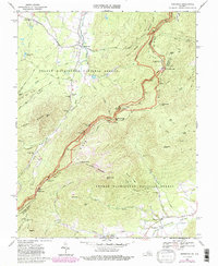
1967 Map of Sherando
USGS Topo · Published 1987About this map
Sherando and the surrounding heights of the Blue Ridge define this landscape, where the George Washington National Forest meets the valley of the Rockfish River. This 1967 survey highlights the area's transition from historic industry to mid-century recreation, featuring the Mount Terry Furnace site alongside modern developments like the Blue Ridge Parkway and the Appalachian Trail. Along the mountain slopes, several scenic overlooks such as Ravens Roost Overlook and Three Ridges Overlook offer vistas of the complex terrain, which includes landmarks like The Rocks and Humpback Mtn. Local heritage is anchored by community landmarks such as Sherando Ch, Mountain View Ch, and the Diamond Hill Cem. The map provides a detailed view of the watershed as the North Fork and Back Creek navigate the ridges of Torry Mtn and Potatopatch Mountain.
Find a feature on this map
72 named features on this map. Tap any name to fly to it.
Don’t see what you’re looking for? This feature index may not catch every label — zoom into the map to look around manually.
Map Details
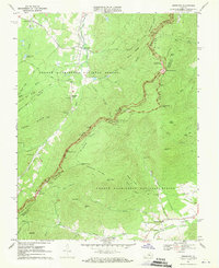
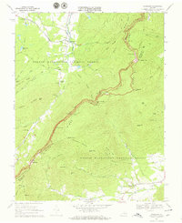
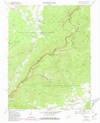
Editions of this 1967 Sherando Map
4 editions found
Other maps of this area

1892 · Buckingham
USGS Topo · 1:125,000

1892 · Harrisonburg
USGS Topo · 1:125,000

1894 · Staunton
USGS Topo · 1:125,000

1894 · Lexington
USGS Topo · 1:125,000

1934 · Waynesboro
USGS Topo · 1:48,000

1936 · Vesuvius
USGS Topo · 1:48,000

1939 · Waynesboro
USGS Topo · 1:62,500

1941 · Vesuvius
USGS Topo · 1:62,500

1943 · Lovingston
USGS Topo · 1:62,500

1944 · Staunton
USGS Topo · 1:62,500