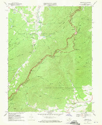
1967 Map of Sherando
USGS Topo · Published 1970About this map
Sherando and the surrounding high ridges of the George Washington National Forest are captured during a period of expanding recreational infrastructure in the late 1960s. The map highlights the intersection of historic transit and modern conservation, featuring the winding Blue Ridge Parkway and the Appalachian Trail as they trace the crest of the Blue Ridge. Settled valleys host local landmarks such as Sherando Ch and Mountain View Ch, while the industrial past is noted at Mount Torry Furnace. Along the parkway, several scenic points are identified, including Ravens Roost Overlook and Greenstone Overlook, alongside the Humpback Rocks Visitors Center. The intricate drainage system of the Rockfish River and its many forks, such as Reeds Creek and Stony Creek, defines the eastern slopes of Nelson County.
Find a feature on this map
76 named features on this map. Tap any name to fly to it.
Don’t see what you’re looking for? This feature index may not catch every label — zoom into the map to look around manually.
Map Details
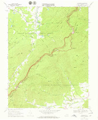
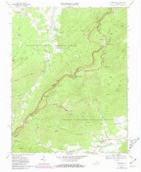
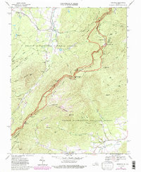
Editions of this 1967 Sherando Map
4 editions found
Other maps of this area

1892 · Buckingham
USGS Topo · 1:125,000

1892 · Harrisonburg
USGS Topo · 1:125,000

1894 · Staunton
USGS Topo · 1:125,000

1894 · Lexington
USGS Topo · 1:125,000

1934 · Waynesboro
USGS Topo · 1:48,000

1936 · Vesuvius
USGS Topo · 1:48,000

1939 · Waynesboro
USGS Topo · 1:62,500

1941 · Vesuvius
USGS Topo · 1:62,500

1943 · Lovingston
USGS Topo · 1:62,500

1944 · Staunton
USGS Topo · 1:62,500