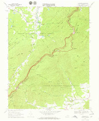
1967 Map of Sherando
USGS Topo · Published 1970About this map
The Blue Ridge mountains dominate this 1967 survey, where the Augusta and Nelson county lines follow the high ridges. This landscape is a corridor of transit and conservation, bisected by the Blue Ridge Parkway and the Appalachian Trail. Along the mountain flanks, historical industrial sites like the Mount Torry Furnace sit near Back Creek, hinting at the region's iron-working past. The settlement of Sherando serves as a northern gateway, while Wintergreen and Beech Grove occupy the lower elevations near the Rockfish River and its forks. Numerous overlooks, including Ravens Roost Overlook and Greenstone Overlook, highlight the era's focus on recreational access to the George Washington National Forest. Local heritage is preserved in sites like Mountain View Ch, Rockfish Ch, and several family cemeteries such as Diamond Hill Cem.
Find a feature on this map
71 named features on this map. Tap any name to fly to it.
Don’t see what you’re looking for? This feature index may not catch every label — zoom into the map to look around manually.
Map Details
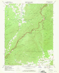
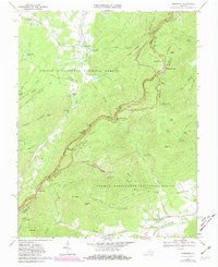
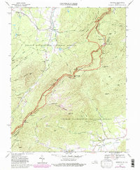
Editions of this 1967 Sherando Map
4 editions found
Other maps of this area

1892 · Buckingham
USGS Topo · 1:125,000

1892 · Harrisonburg
USGS Topo · 1:125,000

1894 · Staunton
USGS Topo · 1:125,000

1894 · Lexington
USGS Topo · 1:125,000

1934 · Waynesboro
USGS Topo · 1:48,000

1936 · Vesuvius
USGS Topo · 1:48,000

1939 · Waynesboro
USGS Topo · 1:62,500

1941 · Vesuvius
USGS Topo · 1:62,500

1943 · Lovingston
USGS Topo · 1:62,500

1944 · Staunton
USGS Topo · 1:62,500