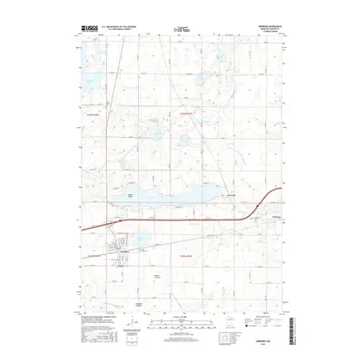
2016 Map of Sherburn
USGS Topo · Published 2016About this map
Sherburn and the nearby village of Welcome anchor this survey of south-central Minnesota, where the prairie landscape is defined by a dense network of glacial lakes and drainage systems. The town of Sherburn is meticulously detailed, showing the residential grid from W 1st St to E 5th St, while local heritage is preserved at sites like the Sherburne City Cem and Saint Lukes Cem.
Find a feature on this map
82 named features on this map. Tap any name to fly to it.
Don’t see what you’re looking for? This feature index may not catch every label — zoom into the map to look around manually.
Map Details
Editions of this 2016 Sherburn Map
This is the sole edition of this map. No revisions or reprints were ever made.
Other maps of this area

1954 · Fairmont
USGS Topo · 1:250,000
1958 · Fairmont
USGS Topo · 1:250,000
1970 · St James SE
USGS Topo · 1:24,000
1970 · Ceylon
USGS Topo · 1:24,000
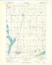
1970 · Trimont
USGS Topo · 1:24,000
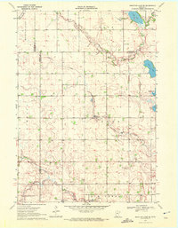
1970 · Mountain Lake SE
USGS Topo · 1:24,000
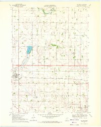
1970 · Welcome
USGS Topo · 1:24,000
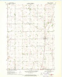
1970 · Dunnell
USGS Topo · 1:24,000
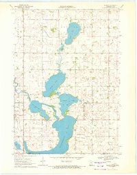
1970 · Wilbert
USGS Topo · 1:24,000
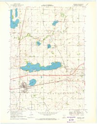
1970 · Sherburn
USGS Topo · 1:24,000