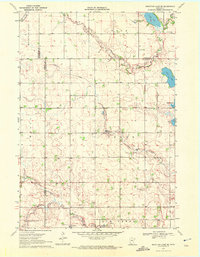
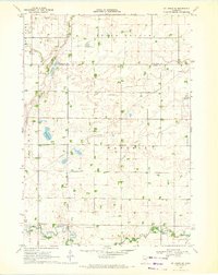
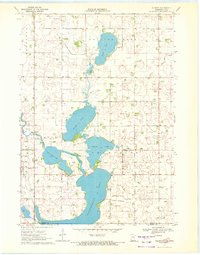
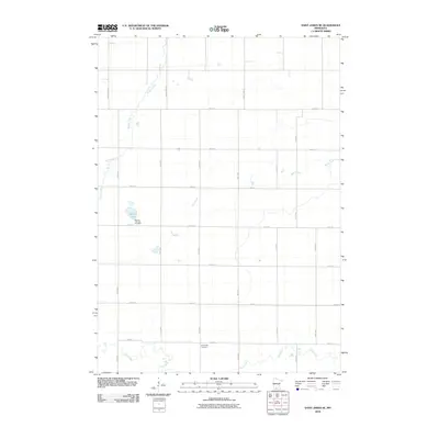
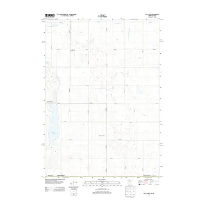
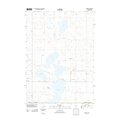
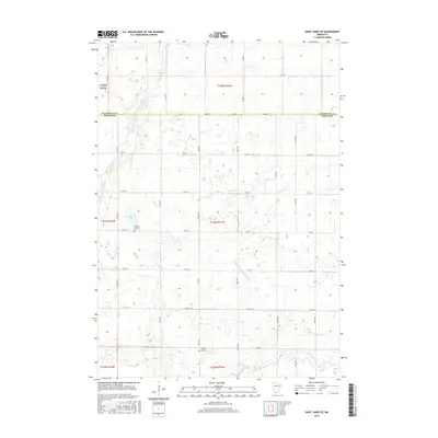
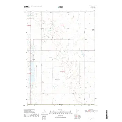
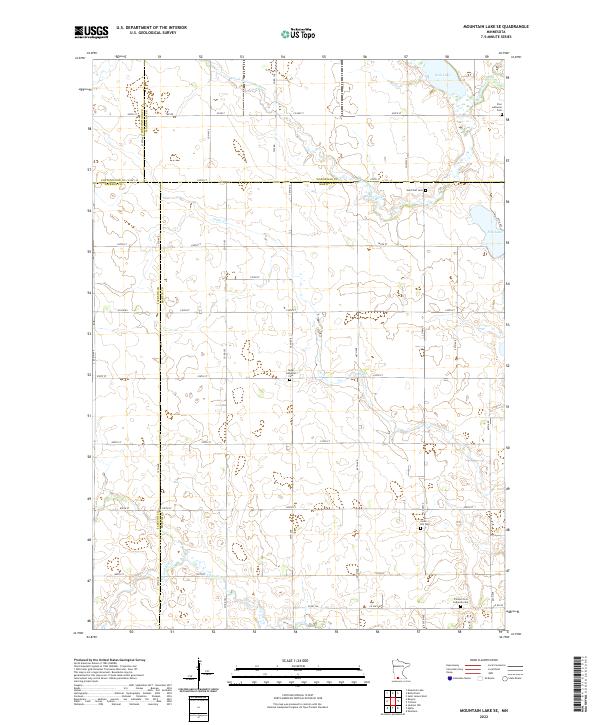
1970 Map of Mountain Lake SE
USGS Topo · Published 1972About this map
The South Fork Watonwan River and its numerous tributaries dictate the layout of this rural landscape where Cottonwood, Watonwan, Jackson, and Martin counties converge. Settled farming communities are anchored by landmarks such as St Olaf Ch Cem and Zion Lutheran Cem in the north, while the southern reaches follow the winding path of South Fork Elm Creek. The topography is defined by glacial depressions forming water bodies like Irish Lake, Fish Lake, and Buffalo Lake. This 1970 field-checked survey reveals a high density of rural cemeteries and churches, including Cedar Ch Cem and Cedar Hill Cem, which serve as primary historical markers for the townships of Odin, Cedar, Enterprise, and Elm Creek.
Find a feature on this map
24 named features on this map. Tap any name to fly to it.
Don’t see what you’re looking for? This feature index may not catch every label — zoom into the map to look around manually.
Map Details
Editions of this 1970 Mountain Lake SE Map
This is the sole edition of this map. No revisions or reprints were ever made.
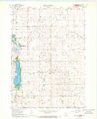
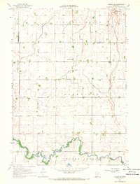
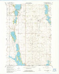
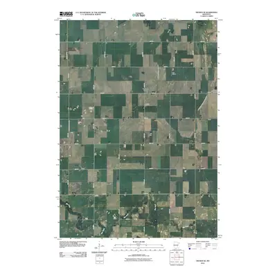
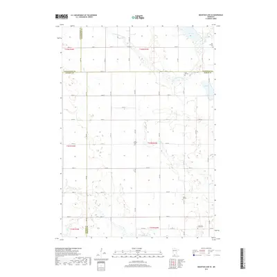
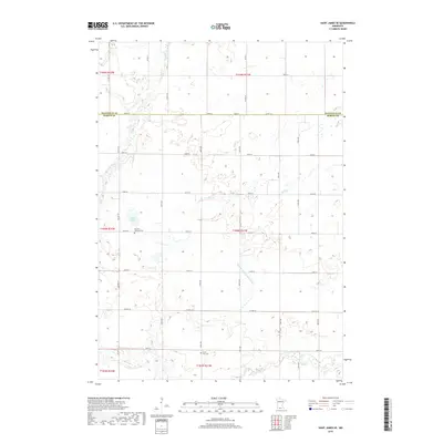
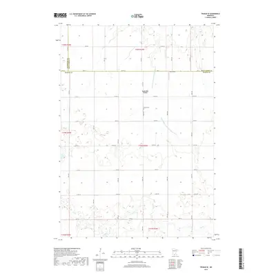
Historical Maps of Martin County Through Time
36 maps found
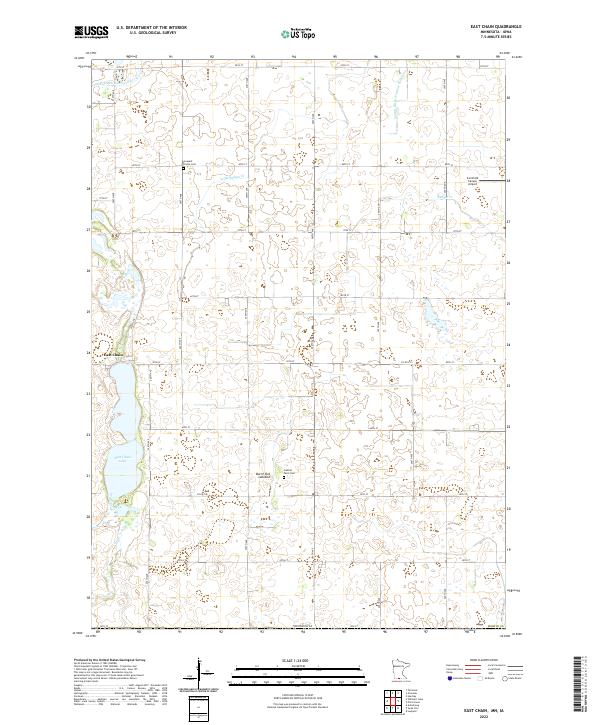
1967 East Chain
Martin County, MN
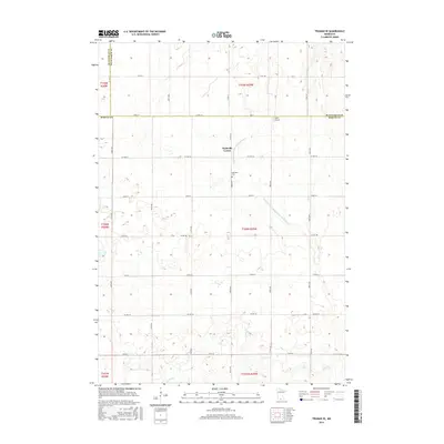
1967 Truman SE
Martin County, MN
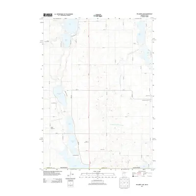
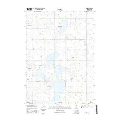
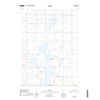
1967 Wilmert Lake
Martin County, MN
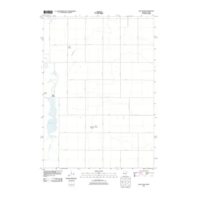
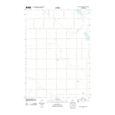
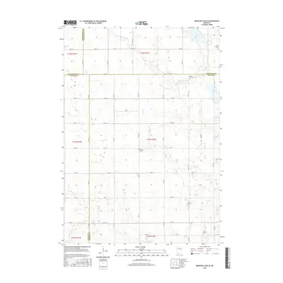
1970 Mountain Lake SE
Martin County, MN
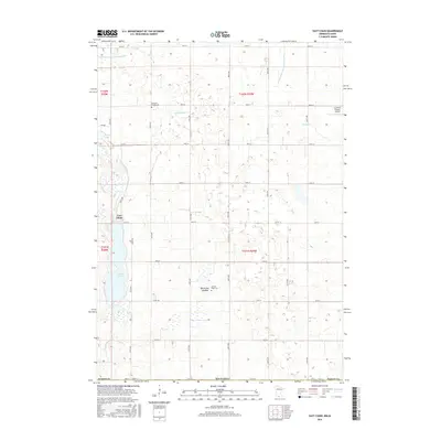
1970 St James SE
Martin County, MN
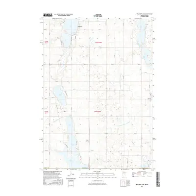
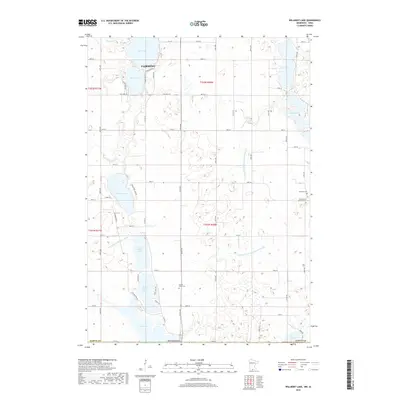
1970 Wilbert
Martin County, MN
2010 East Chain
Martin County, MN
2010 Mountain Lake SE
Martin County, MN
2010 Saint James SE
Martin County, MN
2010 Truman SE
Martin County, MN
2010 Wilbert
Martin County, MN
2010 Willmert Lake
Martin County, MN
2013 East Chain
Martin County, MN
2013 Mountain Lake SE
Martin County, MN
2013 Saint James SE
Martin County, MN
2013 Truman SE
Martin County, MN
2013 Wilbert
Martin County, MN
2013 Willmert Lake
Martin County, MN
2016 East Chain
Martin County, MN
2016 Mountain Lake SE
Martin County, MN
2016 Saint James SE
Martin County, MN
2016 Truman SE
Martin County, MN
2016 Wilbert
Martin County, MN
2016 Willmert Lake
Martin County, MN
2019 East Chain
Martin County, MN
2019 Mountain Lake SE
Martin County, MN
2019 Saint James SE
Martin County, MN
2019 Truman SE
Martin County, MN
2019 Wilbert
Martin County, MN
2019 Willmert Lake
Martin County, MN
2022 East Chain
Martin County, MN
2022 Mountain Lake SE
Martin County, MN
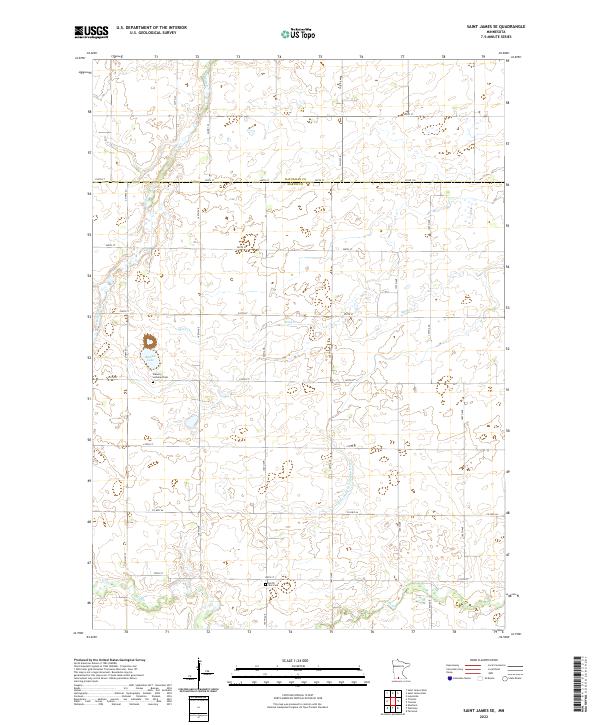
2022 Saint James SE
Martin County, MN
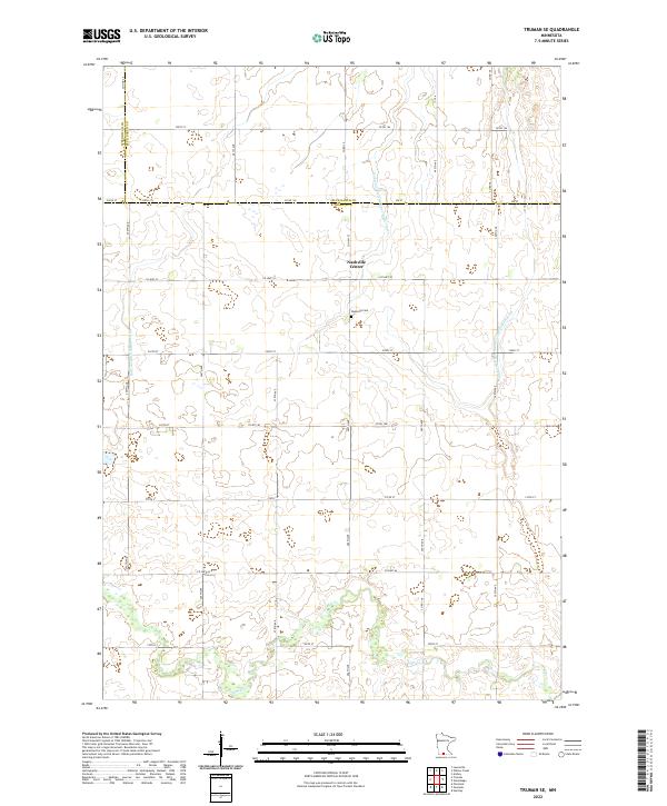
2022 Truman SE
Martin County, MN
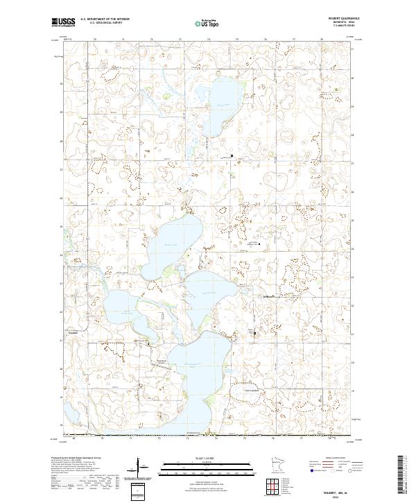
2022 Wilbert
Martin County, MN
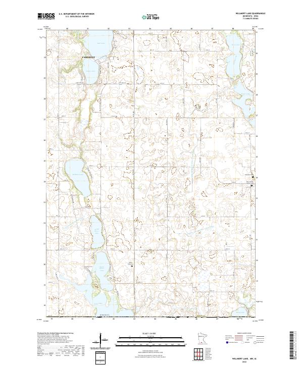
2022 Willmert Lake
Martin County, MN