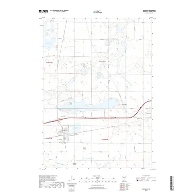
2019 Map of Sherburn
USGS Topo · Published 2019About this map
Sherburn and the nearby village of Welcome anchor this Martin County landscape, characterized by a complex network of glacial lakes and drained basins. The presence of Munger Lakebed and Manyaska Lakebed alongside active water bodies like Fox Lake and Temperance Lake illustrates the region's managed hydrology, where Judicial Ditch Number Thirtyseven and other drainage systems have historically supported the surrounding agricultural economy. Local history is preserved in several community landmarks, including Saint Lukes Cem and Sherburn City Cem.
Find a feature on this map
62 named features on this map. Tap any name to fly to it.
Don’t see what you’re looking for? This feature index may not catch every label — zoom into the map to look around manually.
Map Details
Editions of this 2019 Sherburn Map
This is the sole edition of this map. No revisions or reprints were ever made.
Other maps of this area

1954 · Fairmont
USGS Topo · 1:250,000

1958 · Fairmont
USGS Topo · 1:250,000

1970 · St James SE
USGS Topo · 1:24,000

1970 · Ceylon
USGS Topo · 1:24,000

1970 · Trimont
USGS Topo · 1:24,000

1970 · Mountain Lake SE
USGS Topo · 1:24,000

1970 · Welcome
USGS Topo · 1:24,000

1970 · Dunnell
USGS Topo · 1:24,000

1970 · Wilbert
USGS Topo · 1:24,000

1970 · Sherburn
USGS Topo · 1:24,000