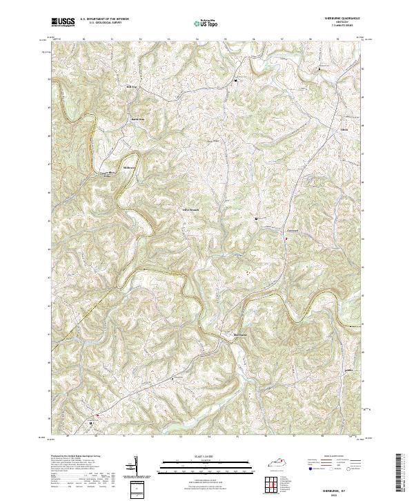
2022 Map of Sherburne
USGS Topo · Published 2022About this map
The Licking River carves a winding path through the northern reaches of the Bluegrass region, serving as a natural boundary for Nicholas, Fleming, and Bath counties. This 2022 survey captures a landscape defined by its river-valley topography and small upland settlements like Sherburne and Upper Blue Licks. The distribution of family and community landmarks, such as Log Union Cem and Porter Cem, reflects a persistent rural settlement pattern where life historically centered on the ridge roads and creek bottoms.
Find a feature on this map
88 named features on this map. Tap any name to fly to it.
Don’t see what you’re looking for? This feature index may not catch every label — zoom into the map to look around manually.
Map Details
Editions of this 2022 Sherburne Map
This is the sole edition of this map. No revisions or reprints were ever made.
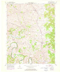
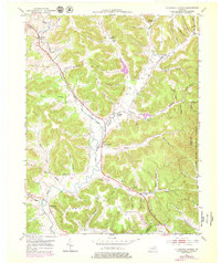
Historical Maps of Upper Blue Licks Through Time
10 maps found
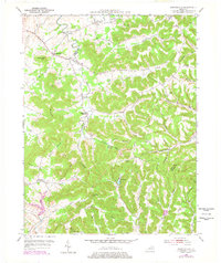
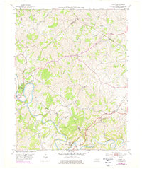
1951 Burtonville
Fleming County, KY
1951 Hillsboro
Fleming County, KY
1951 Plummers Landing
Fleming County, KY
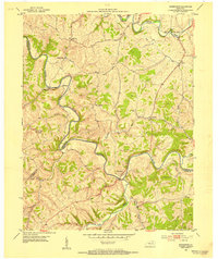
1952 Cowan
Fleming County, KY
1952 Sherburne
Fleming County, KY
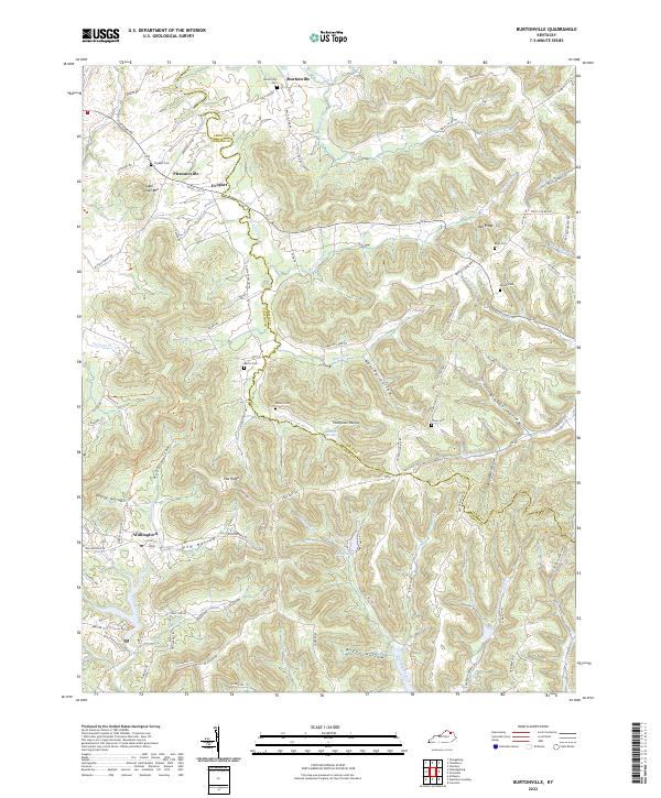
2022 Burtonville
Fleming County, KY
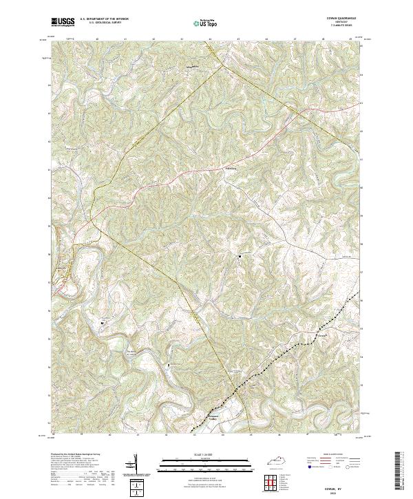
2022 Cowan
Fleming County, KY
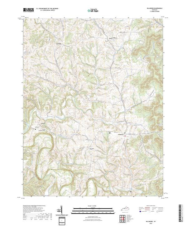
2022 Hillsboro
Fleming County, KY
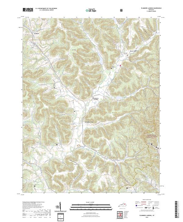
2022 Plummers Landing
Fleming County, KY
2022 Sherburne
Fleming County, KY