
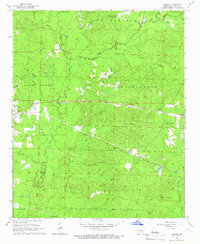
1964 Map of Sheridan
USGS Topo · Published 1965About this map
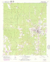
The town of Sheridan serves as the central hub of this mid-1960s survey, situated at a crossroads of commerce and community in Grant County. The Missouri Pacific railroad cuts through the landscape, supporting a local economy that includes several Gravel Pits concentrated in the western township of Davis. The town's social fabric is anchored by landmarks like the Lost Creek Cem and a Drive-in Theater located on the eastern outskirts, reflecting the mid-century suburban and rural character of the region.
Find a feature on this map
23 named features on this map. Tap any name to fly to it.
Don’t see what you’re looking for? This feature index may not catch every label — zoom into the map to look around manually.
Map Details
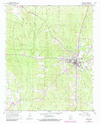
Editions of this 1964 Sheridan Map
3 editions found
Other maps of this area

1955 · Little Rock
USGS Topo · 1:250,000

1956 · Little Rock
USGS Topo · 1:250,000

1960 · Little Rock
USGS Topo · 1:250,000

1963 · Prattsville
USGS Topo · 1:24,000
1963 · Tull
USGS Topo · 1:24,000

1964 · Little Rock
USGS Topo · 1:250,000

1964 · Cane Creek
USGS Topo · 1:24,000

1964 · Belfast
USGS Topo · 1:24,000
1964 · Millerville
USGS Topo · 1:24,000
1964 · Prague
USGS Topo · 1:24,000