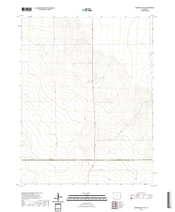
2022 Map of Sheridan Lake SE
USGS Topo · Published 2022About this map
Kiowa County and Prowers County meet along a straight east-west boundary in this corner of the High Plains. The landscape is characterized by its organized section lines and a grid of rural roads, including Co Rd WW which runs parallel to the county line. This area shows the vast, open nature of eastern Colorado's agricultural and ranching country, where human impact is primarily defined by the Public Land Survey System and the long, straight stretches of routes like Co Rd 66 and Co Rd 64. Drainage is sparse across the terrain, with Buffalo Cr appearing in the southern portion as one of the few named water features. The map illustrates a region where the vastness of the plains is carved into precise townships such as t20s r44w, reflecting the enduring settlement patterns of the American West.
Find a feature on this map
23 named features on this map. Tap any name to fly to it.
Don’t see what you’re looking for? This feature index may not catch every label — zoom into the map to look around manually.
Map Details
Editions of this 2022 Sheridan Lake SE Map
This is the sole edition of this map. No revisions or reprints were ever made.
Other maps of this area

1890 · Granada
USGS Topo · 1:125,000

1892 · Granada
USGS Topo · 1:125,000

1894 · Granada
USGS Topo · 1:125,000

1954 · Lamar
USGS Topo · 1:250,000

1955 · Granada NW
USGS Topo · 1:24,000

1955 · Granada NE
USGS Topo · 1:24,000
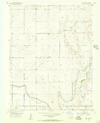
1955 · Holly NW
USGS Topo · 1:24,000

1958 · Lamar
USGS Topo · 1:250,000

1968 · Stuart
USGS Topo · 1:24,000

1968 · Sheridan Lake
USGS Topo · 1:24,000