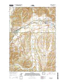
2014 Map of Sheridan
USGS Topo · Published 2014About this map
The South Yamhill River valley serves as the central corridor for this region, where the timber industry and agriculture have long shaped the landscape. Evidence of industrial operations is visible at the Pacific Plywood Log Pond near Willamina, a town situated at the confluence of Willamina Creek and the river. To the east, the city of Sheridan is the primary population center, positioned where Mill Creek meets the South Yamhill.
Find a feature on this map
104 named features on this map. Tap any name to fly to it.
Don’t see what you’re looking for? This feature index may not catch every label — zoom into the map to look around manually.
Map Details
Editions of this 2014 Sheridan Map
This is the sole edition of this map. No revisions or reprints were ever made.
Other maps of this area

1942 · Sheridan
USGS Topo · 1:62,500

1942 · Spirit Mtn
USGS Topo · 1:62,500

1942 · Valsetz
USGS Topo · 1:62,500

1942 · Dallas
USGS Topo · 1:62,500

1948 · Vancouver
USGS Topo · 1:250,000

1950 · Vancouver
USGS Topo · 1:250,000

1950 · Vancouver
USGS Topo · 1:250,000

1953 · Salem
USGS Topo · 1:250,000

1954 · Salem
USGS Topo · 1:250,000

1955 · Grand Ronde
USGS Topo · 1:62,500