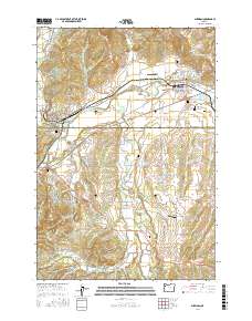
2017 Map of Sheridan
USGS Topo · Published 2017About this map
Sheridan and Willamina serve as the primary hubs for this Willamette Valley margin, where the valley floor begins its ascent toward the western hills. The South Yamhill River cuts through the landscape, flanked by a network of smaller drainages like Mill Creek and Ash Cr. This 2017 survey reveals a rural infrastructure defined by scattered reservoirs and agricultural ponds such as Hart Reservoir, Joe Crow Reservoir, and Downing Pond. Genealogy researchers will find several local burial grounds, including the Masonic Cem north of town and the Union Baptist Cem further south. The map also documents transportation and utility landmarks like the Wallace Bridge and Abba's Airport, alongside the small crossroads communities of Red Prairie and Buell, providing a precise look at the modern land use and boundary lines between Yamhill and Polk counties.
Find a feature on this map
93 named features on this map. Tap any name to fly to it.
Don’t see what you’re looking for? This feature index may not catch every label — zoom into the map to look around manually.
Map Details
Editions of this 2017 Sheridan Map
This is the sole edition of this map. No revisions or reprints were ever made.
Other maps of this area

1942 · Sheridan
USGS Topo · 1:62,500

1942 · Spirit Mtn
USGS Topo · 1:62,500

1942 · Valsetz
USGS Topo · 1:62,500

1942 · Dallas
USGS Topo · 1:62,500

1948 · Vancouver
USGS Topo · 1:250,000

1950 · Vancouver
USGS Topo · 1:250,000

1950 · Vancouver
USGS Topo · 1:250,000

1953 · Salem
USGS Topo · 1:250,000

1954 · Salem
USGS Topo · 1:250,000

1955 · Grand Ronde
USGS Topo · 1:62,500