
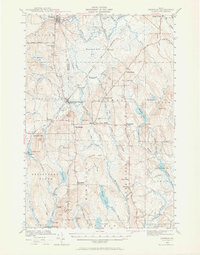
1940 Map of Sherman
USGS Topo · Published 1959About this map
The Bangor and Aroostook railroad defines the transportation corridor of this Northern Maine landscape, connecting rural outposts like Sherman Station and Patten Junc. The map captures a high-density network of local schools and landmarks that served small timber and farming communities, including the South Patten Sch, Longfellow Sch, and Doble Sch. This era is marked by clear county divisions, where the line between Penobscot Co and Aroostook Co bisects the wilderness south of Benedicta.
Find a feature on this map
81 named features on this map. Tap any name to fly to it.
Don’t see what you’re looking for? This feature index may not catch every label — zoom into the map to look around manually.
Map Details
Editions of this 1940 Sherman Map
2 editions found
Other maps of this area

1937 · Smyrna Mills
USGS Topo · 1:62,500

1940 · Island Falls
USGS Topo · 1:62,500

1940 · Mattawamkeag
USGS Topo · 1:62,500

1941 · Mattawamkeag Lake
USGS Topo · 1:62,500

1941 · Wytopitlock
USGS Topo · 1:62,500

1942 · Island Falls
USGS Topo · 1:62,500

1942 · Mattawamkeag
USGS Topo · 1:62,500

1942 · Sherman
USGS Topo · 1:62,500

1943 · Wytopitlock
USGS Topo · 1:62,500

1943 · Mattawamkeag Lake
USGS Topo · 1:62,500