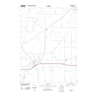
2010 Map of Sherman
USGS Topo · Published 2010About this map
French Creek flows westward through the village of Sherman, anchoring a landscape defined by Chautauqua County's rural road networks and dispersed agricultural hamlets. The village serves as a central hub for the surrounding area, which includes the smaller settlements of Summerdale and Stebbins Corners. To the north, the headwaters of Chautauqua Creek and Wing Creek drain the higher elevations, while family heritage is preserved at the Porter Cemetery near Lyons Rd.
Find a feature on this map
44 named features on this map. Tap any name to fly to it.
Don’t see what you’re looking for? This feature index may not catch every label — zoom into the map to look around manually.
Map Details
Editions of this 2010 Sherman Map
This is the sole edition of this map. No revisions or reprints were ever made.
Other maps of this area

1899 · Westfield
USGS Topo · 1:62,500

1900 · Dunkirk
USGS Topo · 1:62,500

1904 · Chautaqua
USGS Topo · 1:62,500

1905 · Clymer
USGS Topo · 1:62,500

1939 · Clymer
USGS Topo · 1:62,500

1941 · Chautauqua
USGS Topo · 1:62,500

1941 · Clymer
USGS Topo · 1:62,500

1943 · Dunkirk
USGS Topo · 1:62,500

1954 · Chautauqua
USGS Topo · 1:24,000

1954 · South Ripley
USGS Topo · 1:24,000