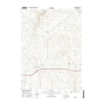
2016 Map of Sherman
USGS Topo · Published 2016About this map
Sherman and Mayville anchor this portion of Chautauqua County, where the landscape transitions between the headwaters of several prominent regional waterways. The village of Sherman sits along the banks of French Cr, a drainage that flows toward the Allegheny River system, while just to the north, Chautauqua Cr and Prendergast Cr carve deep valleys as they descend toward Lake Erie and Chautauqua Lake respectively. This divide is a defining characteristic of the local topography, influencing the placement of early settlements and transport routes.
Find a feature on this map
54 named features on this map. Tap any name to fly to it.
Don’t see what you’re looking for? This feature index may not catch every label — zoom into the map to look around manually.
Map Details
Editions of this 2016 Sherman Map
This is the sole edition of this map. No revisions or reprints were ever made.
Other maps of this area

1899 · Westfield
USGS Topo · 1:62,500

1900 · Dunkirk
USGS Topo · 1:62,500

1904 · Chautaqua
USGS Topo · 1:62,500

1905 · Clymer
USGS Topo · 1:62,500

1939 · Clymer
USGS Topo · 1:62,500

1941 · Chautauqua
USGS Topo · 1:62,500

1941 · Clymer
USGS Topo · 1:62,500

1943 · Dunkirk
USGS Topo · 1:62,500

1954 · Chautauqua
USGS Topo · 1:24,000

1954 · South Ripley
USGS Topo · 1:24,000