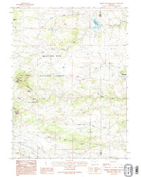
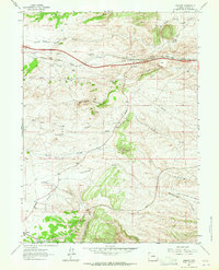
1987 Map of Sherman Mountains East
USGS Topo · Published 1995About this map
The Sherman Mountains define this high-altitude landscape along the border of Albany and Laramie Counties, where the granite outcrops of the Medicine Bow National Forest meet the plains. The terrain is marked by distinctive formations like Turtle Rock, Devils Playground, and the sheltered Vedauwoo Glen. Human activity in these uplands is traced through an Old Railroad Grade that winds through the southern foothills and the small settlement of Hirsig near Brush Creek.
Find a feature on this map
24 named features on this map. Tap any name to fly to it.
Don’t see what you’re looking for? This feature index may not catch every label — zoom into the map to look around manually.
Map Details
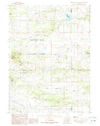
Editions of this 1987 Sherman Mountains East Map
2 editions found
Other maps of this area

1905 · Sherman
USGS Topo · 1:125,000

1948 · Sherman Mountains
USGS Topo · 1:62,500

1948 · Ragged Top Mountain
USGS Topo · 1:62,500

1950 · Ragged Top Mountain
USGS Topo · 1:62,500

1950 · Sherman Mountains
USGS Topo · 1:62,500

1954 · Cheyenne
USGS Topo · 1:250,000

1958 · Cheyenne
USGS Topo · 1:250,000
1962 · Hecla
USGS Topo · 1:24,000
1962 · Islay
USGS Topo · 1:24,000
1962 · Granite
USGS Topo · 1:24,000