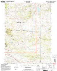
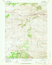
1992 Map of Sherman Mountains East
USGS Topo · Published 1996About this map
Sherman Mountains define this high-altitude landscape along the border of Albany and Laramie Counties during the early 1990s. The region is primarily contained within the Medicine Bow National Forest, characterized by complex water systems like the Upper North Crow Reservoir and the headwaters of Middle Crow Creek. The presence of the Old Railroad Grade in the south provides a window into the area's transportation history, while the Hirsig (Site) marks a former human footprint in the mountains. Distinctive geological and recreational landmarks such as Vedauwoo Glen and the Devils Playground illustrate why this area transitioned into a major hub for outdoor activity, supported by the eastern edge of Curt Gowdy State Park. The map also details numerous family-named peaks, including Reynolds Hill and Egbert Hill, which serve as permanent markers of early ranching and homesteading history.
Find a feature on this map
25 named features on this map. Tap any name to fly to it.
Don’t see what you’re looking for? This feature index may not catch every label — zoom into the map to look around manually.
Map Details
Editions of this 1992 Sherman Mountains East Map
2 editions found
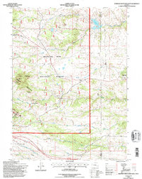
Other maps of this area

1905 · Sherman
USGS Topo · 1:125,000

1948 · Sherman Mountains
USGS Topo · 1:62,500

1948 · Ragged Top Mountain
USGS Topo · 1:62,500

1950 · Ragged Top Mountain
USGS Topo · 1:62,500

1950 · Sherman Mountains
USGS Topo · 1:62,500

1954 · Cheyenne
USGS Topo · 1:250,000

1958 · Cheyenne
USGS Topo · 1:250,000
1962 · Hecla
USGS Topo · 1:24,000
1962 · Islay
USGS Topo · 1:24,000
1962 · Granite
USGS Topo · 1:24,000