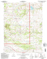
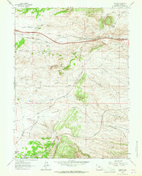
1992 Map of Sherman Mountains East
USGS Topo · Published 1996About this map
The Medicine Bow National Forest encompasses the high country documented here, where granite formations and the headwaters of numerous creeks dominate the landscape. In the western portion, the geological features of the Sherman Mountains define the terrain, including the notable Vedauwoo Glen and the strangely named Devils Playground. These formations provide a stark backdrop for a landscape that, by the early 1990s, transitioned from heavy industrial use to recreation.
Find a feature on this map
26 named features on this map. Tap any name to fly to it.
Don’t see what you’re looking for? This feature index may not catch every label — zoom into the map to look around manually.
Map Details
Editions of this 1992 Sherman Mountains East Map
2 editions found
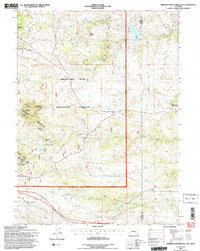
Other maps of this area

1905 · Sherman
USGS Topo · 1:125,000

1948 · Sherman Mountains
USGS Topo · 1:62,500

1948 · Ragged Top Mountain
USGS Topo · 1:62,500

1950 · Ragged Top Mountain
USGS Topo · 1:62,500

1950 · Sherman Mountains
USGS Topo · 1:62,500

1954 · Cheyenne
USGS Topo · 1:250,000

1958 · Cheyenne
USGS Topo · 1:250,000
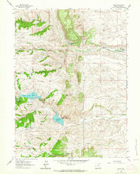
1962 · Hecla
USGS Topo · 1:24,000
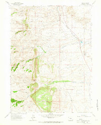
1962 · Islay
USGS Topo · 1:24,000
1962 · Granite
USGS Topo · 1:24,000