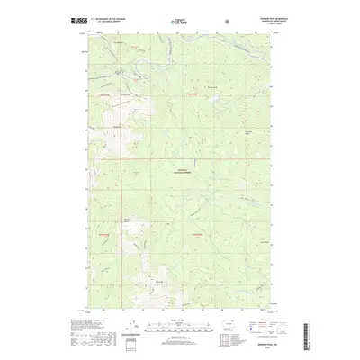
2020 Map of Sherman Peak
USGS Topo · Published 2020About this map
Colville National Forest dominates this section of the Kettle River Range, centered on the high-elevation crossing at Sherman Pass. The landscape is defined by a network of peaks and ridges, including Columbia Mtn, Sherman Peak, and Snow Peak, which are connected by the high-altitude Pacific NW National Scenic Trail. The Sherman Pass Scenic Byway provides the primary corridor through this high country, flanked by localized routes like the Sherman Peak Loop and Sherman Tie. To the south, the terrain descends toward Barnaby Buttes and White Mtn, where the headwaters of Barnaby Creek and the S Fork Sherman Creek begin their drainage. This map captures the modern forest management and recreational footprint of Ferry County, detailing the specific road and trail infrastructure used to navigate the divide between the Sanpoil and Columbia River watersheds.
Find a feature on this map
37 named features on this map. Tap any name to fly to it.
Don’t see what you’re looking for? This feature index may not catch every label — zoom into the map to look around manually.
Map Details
Editions of this 2020 Sherman Peak Map
This is the sole edition of this map. No revisions or reprints were ever made.
Other maps of this area

1904 · Republic
USGS Topo · 1:125,000

1936 · Marcus
USGS Topo · 1:96,000

1942 · Marcus
USGS Topo · 1:125,000

1948 · Republic
USGS Topo · 1:62,500

1948 · Sherman Peak
USGS Topo · 1:62,500

1951 · Sherman Peak
USGS Topo · 1:62,500

1951 · Republic
USGS Topo · 1:62,500

1952 · Twin Lakes
USGS Topo · 1:62,500

1953 · Seventeenmile Mtn.
USGS Topo · 1:62,500

1954 · Okanogan
USGS Topo · 1:250,000