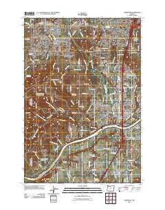
2011 Map of Sherwood
USGS Topo · Published 2011About this map
Sherwood and Wilsonville anchor this 2011 survey of the southern Willamette Valley, where urban expansion meets the distinct geological legacy of the Tonquin Scablands. The map details a landscape transitioning from the river-oriented history of the Willamette River and Boones Ferry toward modern transportation corridors. Significant genealogical landmarks are preserved across the quadrangle, including the Saint Paul Lutheran Cemetery and Maple Lane Cemetery near Six Corners.
Find a feature on this map
115 named features on this map. Tap any name to fly to it.
Don’t see what you’re looking for? This feature index may not catch every label — zoom into the map to look around manually.
Map Details
Editions of this 2011 Sherwood Map
This is the sole edition of this map. No revisions or reprints were ever made.
Other maps of this area

1914 · Oregon City
USGS Topo · 1:62,500

1916 · Tualatin
USGS Topo · 1:62,500

1923 · Mount Angel
USGS Topo · 1:62,500

1939 · Molalla
USGS Topo · 1:62,500

1939 · Oregon City
USGS Topo · 1:62,500

1939 · Tualatin
USGS Topo · 1:62,500

1940 · Tualatin
USGS Topo · 1:62,500

1940 · Molalla
USGS Topo · 1:62,500

1940 · Mount Angel
USGS Topo · 1:62,500

1941 · Oregon City
USGS Topo · 1:62,500