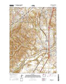
2017 Map of Sherwood
USGS Topo · Published 2017About this map
The Willamette River curves through the southern portion of this landscape, separating the rising elevation of Ladd Hill from the level agricultural expanse of French Prairie. This region marks a intersection of history and modern development, where established communities like Sherwood and Tualatin meet smaller, historic points such as Six Corners and Middleton. Significant genealogical markers are scattered throughout, including the Saint Paul Lutheran Cem and Maple Lane Cem in the north, and the Butteville Cem near the riverbanks. The terrain transitions from the low-lying Onion Flat and Tualatin Valley floor toward La Butte, while several reservoirs like Nuffer Reservoir and Joseph Rogers Reservoir indicate the complex water management of this fertile valley. In the southeast corner, the Aurora State Airport provides a modern anchor near the county line between Marion and Clackamas.
Find a feature on this map
120 named features on this map. Tap any name to fly to it.
Don’t see what you’re looking for? This feature index may not catch every label — zoom into the map to look around manually.
Map Details
Editions of this 2017 Sherwood Map
This is the sole edition of this map. No revisions or reprints were ever made.
Other maps of this area

1914 · Oregon City
USGS Topo · 1:62,500

1916 · Tualatin
USGS Topo · 1:62,500

1923 · Mount Angel
USGS Topo · 1:62,500

1939 · Molalla
USGS Topo · 1:62,500

1939 · Oregon City
USGS Topo · 1:62,500

1939 · Tualatin
USGS Topo · 1:62,500

1940 · Tualatin
USGS Topo · 1:62,500

1940 · Molalla
USGS Topo · 1:62,500

1940 · Mount Angel
USGS Topo · 1:62,500

1941 · Oregon City
USGS Topo · 1:62,500