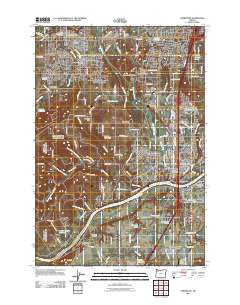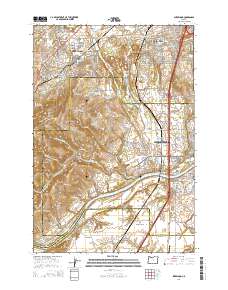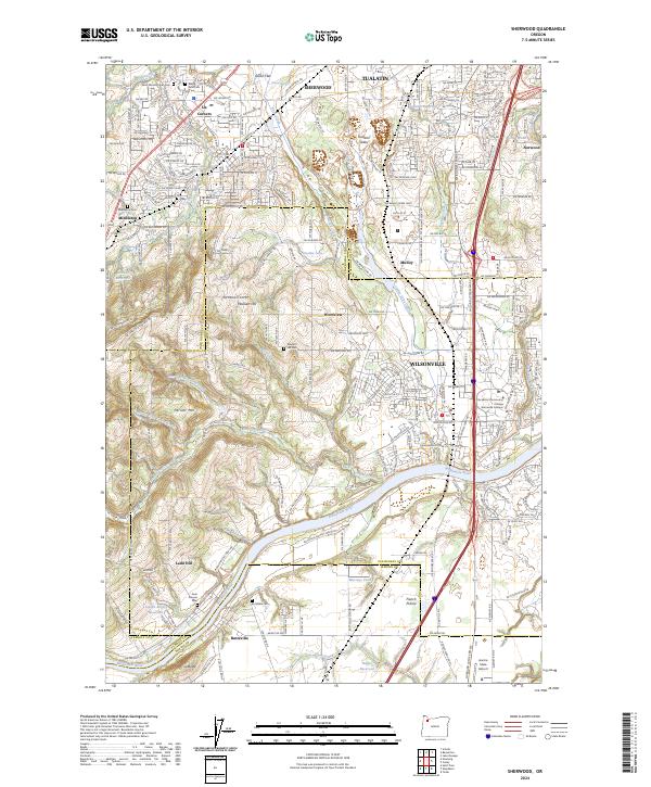
2024 Map of Sherwood
USGS Topo · Published 2024About this map
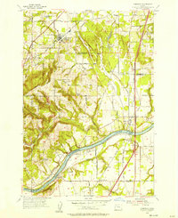
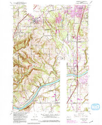
The Willamette River meanders across the southern landscape of this region, defining the borders between Marion, Yamhill, and Clackamas counties. Higher elevations like Parrett Mtn and Ladd Hill provide a counterpoint to the low-lying Onion Flat and the wetlands preserved within the Tualatin River National Wildlife Refuge. The settlement pattern reflects deep roots in the Willamette Valley, with established centers at Sherwood, Tualatin, and Wilsonville connected by historical transport corridors like the Portland & Western RR.
Find a feature on this map
80 named features on this map. Tap any name to fly to it.
Don’t see what you’re looking for? This feature index may not catch every label — zoom into the map to look around manually.
Map Details
Editions of this 2024 Sherwood Map
This is the sole edition of this map. No revisions or reprints were ever made.
Historical Maps of Tualatin Through Time
7 maps found