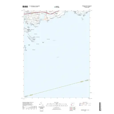
2021 Map of Sherwood Point
USGS Topo · Published 2021About this map
Long Island Sound dominates this coastal landscape, where the maritime border between Connecticut and New York cuts across the southern waters. On the northern shore, residential enclaves like Saugatuck Shores, Owenoke, and Greens Farms represent the contemporary development of this high-value coastline. The map details a complex littoral zone of points and reefs, anchored by Sherwood Island and the sprawling sands of Compo Beach.
Find a feature on this map
61 named features on this map. Tap any name to fly to it.
Don’t see what you’re looking for? This feature index may not catch every label — zoom into the map to look around manually.
Map Details
Editions of this 2021 Sherwood Point Map
This is the sole edition of this map. No revisions or reprints were ever made.
Other maps of this area

1891 · Bridgeport
USGS Topo · 1:62,500

1892 · Norwalk
USGS Topo · 1:62,500

1893 · Bridgeport
USGS Topo · 1:62,500

1893 · Norwalk
USGS Topo · 1:62,500

1901 · Northport
USGS Topo · 1:62,500

1902 · Setauket
USGS Topo · 1:62,500

1903 · Northport
USGS Topo · 1:62,500

1904 · Setauket
USGS Topo · 1:62,500

1904 · Islip
USGS Topo · 1:125,000

1919 · Setauket
USGS Topo · 1:62,500