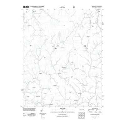
2011 Map of Sherwood
USGS Topo · Published 2011About this map
Watauga River currents and the winding Cove Creek define this mountain landscape along the North Carolina-Tennessee border. Small agricultural and residential pockets such as Sugar Grove, Sherwood, and Sweetwater are interconnected by a network of rural routes including Silverstone Rd and Mast Gap Rd. The terrain is deeply corrugated, rising to heights like The Bald and Buckeye Knob, while narrow hollows like Wilson Hollow and Isaac Hollow provide the only level ground for homesteads.
Find a feature on this map
126 named features on this map. Tap any name to fly to it.
Don’t see what you’re looking for? This feature index may not catch every label — zoom into the map to look around manually.
Map Details
Editions of this 2011 Sherwood Map
This is the sole edition of this map. No revisions or reprints were ever made.
Other maps of this area

1893 · Cranberry
USGS Topo · 1:125,000

1895 · Cranberry
USGS Topo · 1:125,000

1899 · Cranberry
USGS Topo · 1:125,000

1902 · Cranberry
USGS Topo · 1:125,000

1934 · Valle Crucis
USGS Topo · 1:24,000

1934 · Elk Park
USGS Topo · 1:24,000

1934 · Boone
USGS Topo · 1:24,000
1935 · Doe
USGS Topo · 1:24,000

1935 · Baldwin Gap
USGS Topo · 1:24,000

1935 · Doe Mountain
USGS Topo · 1:48,000