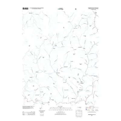
2013 Map of Sherwood
USGS Topo · Published 2013About this map
Cove Cr and Beaverdam Cr define the intricate drainage patterns of this corner of Watauga County, where small rural communities are linked by winding routes like NC-1232 and NC-1215. The settlement of Sherwood sits along the southern portion of the quadrangle, with Sugar Grove and Amantha nearby. This 2013 survey illustrates the persistence of traditional mountain place-names, from The Bald and Snake Den Ridge to smaller family-named features like Isaac Hollow and Henson Hollow.
Find a feature on this map
159 named features on this map. Tap any name to fly to it.
Don’t see what you’re looking for? This feature index may not catch every label — zoom into the map to look around manually.
Map Details
Editions of this 2013 Sherwood Map
This is the sole edition of this map. No revisions or reprints were ever made.
Other maps of this area

1893 · Cranberry
USGS Topo · 1:125,000

1895 · Cranberry
USGS Topo · 1:125,000

1899 · Cranberry
USGS Topo · 1:125,000

1902 · Cranberry
USGS Topo · 1:125,000

1934 · Valle Crucis
USGS Topo · 1:24,000

1934 · Elk Park
USGS Topo · 1:24,000

1934 · Boone
USGS Topo · 1:24,000
1935 · Doe
USGS Topo · 1:24,000

1935 · Baldwin Gap
USGS Topo · 1:24,000

1935 · Doe Mountain
USGS Topo · 1:48,000