2024 Map of Sheyenne
USGS Topo · Published 2024About this map
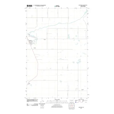
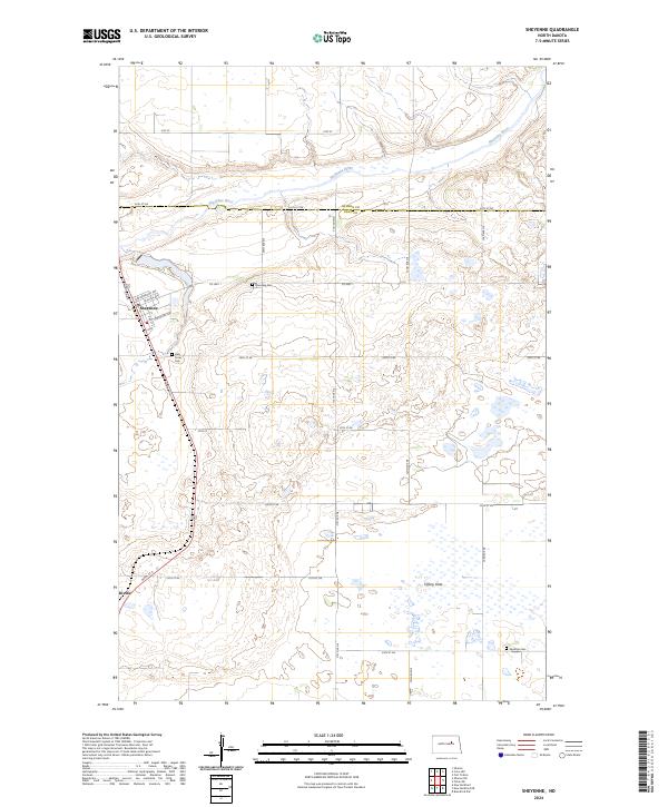
Sheyenne sits along the northern banks of the winding Sheyenne River, serving as a central hub for the surrounding agricultural landscape of Eddy Co. This contemporary survey highlights the town's grid, including streets like Cottonwood Ave and Richter Ave, and its proximity to several local burial grounds such as Riverside Cem and Holy Cross Cem. To the south, the settlement of Divide marks a point along the road network leading toward the low-lying Tiffany Flats, a region characterized by numerous small prairie wetlands.
Find a feature on this map
30 named features on this map. Tap any name to fly to it.
Don’t see what you’re looking for? This feature index may not catch every label — zoom into the map to look around manually.
Map Details
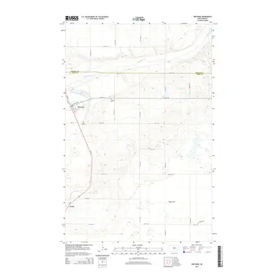
Editions of this 2024 Sheyenne Map
This is the sole edition of this map. No revisions or reprints were ever made.
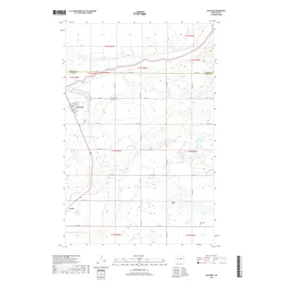
Historical Maps of Sheyenne Through Time
6 maps found