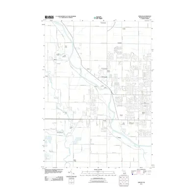
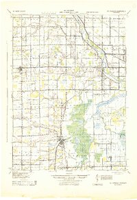
2011 Map of Shields
USGS Topo · Published 2011About this map
The Tittabawassee River curves through this part of Saginaw County, serving as a primary geographic anchor for the settlements of Shields, Shattuckville, and Paines. This landscape is particularly dense with historic burial sites, reflecting the early social and religious foundations of the area. Notable locations include the Saginaw County Poor Farm Cemetery and several denominational sites like the Holy Cross Lutheran Church Cemetery and German Lutheran Church Cemetery.
Find a feature on this map
125 named features on this map. Tap any name to fly to it.
Don’t see what you’re looking for? This feature index may not catch every label — zoom into the map to look around manually.
Map Details
Editions of this 2011 Shields Map
This is the sole edition of this map. No revisions or reprints were ever made.
Other maps of this area
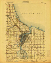
1916 · Bay City
USGS Topo · 1:62,500
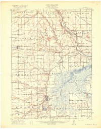
1917 · St. Charles
USGS Topo · 1:62,500
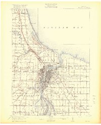
1919 · Bay City
USGS Topo · 1:62,500
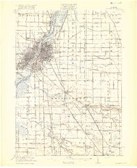
1919 · Saginaw
USGS Topo · 1:62,500
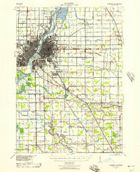
1941 · Saginaw
USGS Topo · 1:62,500
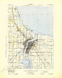
1943 · Bay City
USGS Topo · 1:62,500
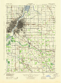
1943 · Saginaw
USGS Topo · 1:62,500
1943 · St. Charles
USGS Topo · 1:62,500

1954 · Midland
USGS Topo · 1:250,000

1954 · Flint
USGS Topo · 1:250,000