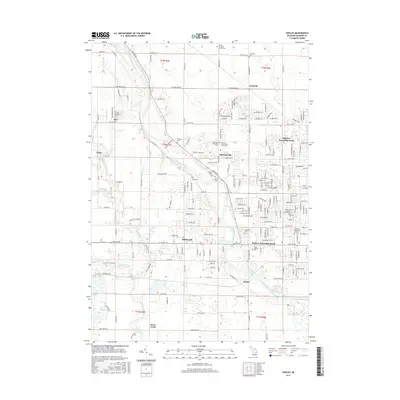
2017 Map of Shields
USGS Topo · Published 2017About this map
The Tittabawassee River carves a diagonal path through this Saginaw County landscape, serving as a central geographic anchor for numerous established communities and burial grounds. The map reveals a dense concentration of cemeteries, including the German Lutheran Church Cem and the Saginaw County Poor Farm Cem, which point to the area's deep-rooted congregational and civic history. To the east, the suburban expansion of Saginaw Township North and Saginaw Township South contrasts with the smaller, defined clusters of Shields, Shattuckville, and Paines. The convergence of waterways like Bullhead Creek and Williams Creek with the main river channel illustrates a drainage pattern that has long influenced local development and road placement, such as Midland Rd and Tittabawassee Rd.
Find a feature on this map
193 named features on this map. Tap any name to fly to it.
Don’t see what you’re looking for? This feature index may not catch every label — zoom into the map to look around manually.
Map Details
Editions of this 2017 Shields Map
This is the sole edition of this map. No revisions or reprints were ever made.
Other maps of this area

1916 · Bay City
USGS Topo · 1:62,500

1917 · St. Charles
USGS Topo · 1:62,500

1919 · Bay City
USGS Topo · 1:62,500

1919 · Saginaw
USGS Topo · 1:62,500

1941 · Saginaw
USGS Topo · 1:62,500

1943 · Bay City
USGS Topo · 1:62,500

1943 · Saginaw
USGS Topo · 1:62,500

1943 · St. Charles
USGS Topo · 1:62,500

1954 · Midland
USGS Topo · 1:250,000

1954 · Flint
USGS Topo · 1:250,000