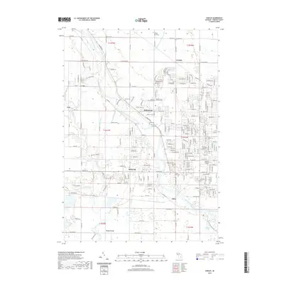
2019 Map of Shields
USGS Topo · Published 2019About this map
The Tittabawassee River carves a winding path through this Saginaw County landscape, anchoring a network of historic rural settlements including Shields, Shattuckville, and Lawndale. The map reveals a high concentration of burial grounds and civic history, notably the Saginaw County Poor Farm and its associated Saginaw County Poor Farm Cem. These sites, along with the German Lutheran Church Cem and Lawndale Cem, provide a dense record of early community development and genealogy along the river corridor.
Find a feature on this map
197 named features on this map. Tap any name to fly to it.
Don’t see what you’re looking for? This feature index may not catch every label — zoom into the map to look around manually.
Map Details
Editions of this 2019 Shields Map
This is the sole edition of this map. No revisions or reprints were ever made.
Other maps of this area

1916 · Bay City
USGS Topo · 1:62,500

1917 · St. Charles
USGS Topo · 1:62,500

1919 · Bay City
USGS Topo · 1:62,500

1919 · Saginaw
USGS Topo · 1:62,500

1941 · Saginaw
USGS Topo · 1:62,500

1943 · Bay City
USGS Topo · 1:62,500

1943 · Saginaw
USGS Topo · 1:62,500

1943 · St. Charles
USGS Topo · 1:62,500

1954 · Midland
USGS Topo · 1:250,000

1954 · Flint
USGS Topo · 1:250,000