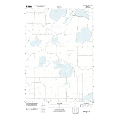
2010 Map of Shieldsville
USGS Topo · Published 2010About this map
The glacial lake district of Rice County defines this 2010 survey, centered on the settlement of Shieldsville. The landscape is dominated by an intricate chain of water bodies, including Shields Lake, French Lake, and Mazaska Lake, which serve as the primary geographical anchors for the region. The Cannon River flows through the western portion of the sheet, where the Rice Lake Dam regulates the waters of Rice Lake.
Find a feature on this map
58 named features on this map. Tap any name to fly to it.
Don’t see what you’re looking for? This feature index may not catch every label — zoom into the map to look around manually.
Map Details
Editions of this 2010 Shieldsville Map
This is the sole edition of this map. No revisions or reprints were ever made.
Other maps of this area

1953 · Saint Paul
USGS Topo · 1:250,000

1959 · Saint Paul
USGS Topo · 1:250,000

1960 · Faribault
USGS Topo · 1:24,000

1960 · Shieldsville
USGS Topo · 1:24,000

1960 · Lonsdale
USGS Topo · 1:24,000

1960 · Little Chicago
USGS Topo · 1:24,000

1962 · Morristown
USGS Topo · 1:24,000

1962 · Medford West
USGS Topo · 1:24,000

1966 · Montgomery
USGS Topo · 1:24,000

1966 · Waterville
USGS Topo · 1:24,000