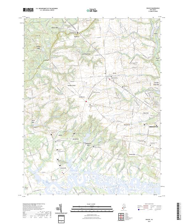
1931 Map of Shiloh
USGS Topo · Published 1931About this map
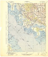
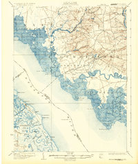
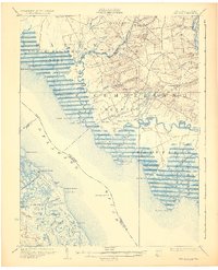
Cohansey Creek meanders through the heart of this coastal region, defining a landscape of tidal marshes and historic farming settlements during the early 1930s. The map illustrates a transitional economy where maritime aids like the Ship John Light and Cohansey Light Old Light guided Delaware River traffic, while inland life centered on milling and agriculture at Maskell Mill and Sheppard Mills. Small communities like Greenwich, Shiloh, and Roadstown are connected by a network of rural routes, including the specifically named Long Lynch Road. The presence of the Southern New Jersey RR line running through Bowentown highlights the period's rail-dependent transport. Across the river in Delaware, the landscape shifts to a complex of guts and ditches, such as Mikes Ditch and Terrapin Gut, indicating the managed wetlands of District No 1.
Find a feature on this map
103 named features on this map. Tap any name to fly to it.
Don’t see what you’re looking for? This feature index may not catch every label — zoom into the map to look around manually.
Map Details
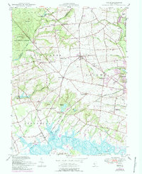
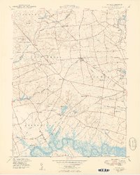
Editions of this 1931 Shiloh Map
2 editions found
Historical Maps of Bridgeton Through Time
9 maps found