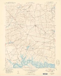
1949 Map of Shiloh
USGS Topo · Published 1949About this map
The Cohansey River winds through the marshes of southern New Jersey, anchoring a landscape defined by 18th-century maritime commerce and agricultural tradition. In the village of Greenwich, the map records the enduring colonial layout near Greenwich Pier and Laning Wharf, where the river meets Green Swamp. This area was a vital port of entry before the rise of Philadelphia, and the presence of the Central RR of New Jersey and an Abandoned RR inland suggests the shifting economics of the late 1940s as rail transit began to give way to motor routes like Dutch Neck Road.
Find a feature on this map
74 named features on this map. Tap any name to fly to it.
Don’t see what you’re looking for? This feature index may not catch every label — zoom into the map to look around manually.
Map Details
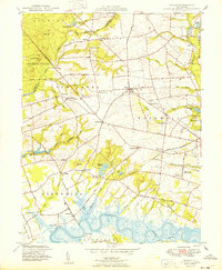
Editions of this 1949 Shiloh Map
2 editions found
Other maps of this area

1890 · Salem
USGS Topo · 1:62,500

1890 · Bay Side
USGS Topo · 1:62,500

1890 · Bridgeton
USGS Topo · 1:62,500

1890 · Glassboro
USGS Topo · 1:62,500

1894 · Bay Side
USGS Topo · 1:62,500

1894 · Bridgeton
USGS Topo · 1:62,500

1898 · Salem
USGS Topo · 1:62,500

1898 · Glassboro
USGS Topo · 1:62,500

1899 · Vineland
USGS Topo · 1:125,000

1901 · Camden
USGS Topo · 1:125,000
Featured Places
- Bridgeton, NJ
- Fairfield Township, NJ
- Hopewell Township, NJ
- Quinton Township, NJ
- Lower Alloways Creek Township, NJ