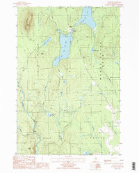
1986 Map of Shin Pond
USGS Topo · Published 1986About this map
Upper Shin Pond and its namesake settlement anchor this mid-1980s landscape in northern Penobscot County, where the wilderness of t6 r7 Wels and Patten meet. The map reveals a complex drainage system defined by the Seboeis River and numerous tributaries such as Shin Brook and Sucker Brook. This terrain is heavily influenced by glacial geography, evidenced by the cluster of water bodies including Lower Shin Pond, Davis Pond, and Ackley Pond tucked between prominent elevations. Dominating the eastern horizon is the massive profile of Mount Chase, while Sugarloaf Mountain and Peaked Mtn mark the western and southern boundaries. The limited road network and scattered Gravel Pit locations suggest a landscape primarily shaped by timber interests and seasonal recreation during this era.
Find a feature on this map
31 named features on this map. Tap any name to fly to it.
Don’t see what you’re looking for? This feature index may not catch every label — zoom into the map to look around manually.
Map Details
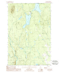
Editions of this 1986 Shin Pond Map
2 editions found
Other maps of this area

1940 · Island Falls
USGS Topo · 1:62,500

1940 · Sherman
USGS Topo · 1:62,500

1942 · Island Falls
USGS Topo · 1:62,500

1942 · Sherman
USGS Topo · 1:62,500

1953 · Stacyville
USGS Topo · 1:62,500

1954 · Shin Pond
USGS Topo · 1:62,500

1954 · Presque Isle
USGS Topo · 1:250,000

1954 · Millinocket
USGS Topo · 1:250,000

1958 · Presque Isle
USGS Topo · 1:250,000

1958 · Millinocket
USGS Topo · 1:250,000