
1957 Map of Shinarump SE
USGS Topo · Published 1958About this map
Kaibab National Forest dominates the eastern landscape of this 1957 survey, where high ridges and deep drainages define the plateau. The terrain is marked by significant topographical landmarks such as Wildcat Canyon and the expansive Le Fevre Canyon, which cuts across the northern section of the map. This preliminary edition, drawn from 1955 aerial photography, documents a transition between the open range and the protected timberlands of the Grand Canyon National Game Preserve. Human presence is sparse, indicated primarily by the route of Highway 89 and a scattered network of water-collection points labeled simply as Reservoir. Near the center of the sheet, the Gila and Salt River Meridian serves as a critical surveying baseline, illustrating how the American West was systematically gridded. Local industrial activity is limited to a single Gravel Pit near the head of the canyon system.
Find a feature on this map
11 named features on this map. Tap any name to fly to it.
Don’t see what you’re looking for? This feature index may not catch every label — zoom into the map to look around manually.
Map Details
Editions of this 1957 Shinarump SE Map
This is the sole edition of this map. No revisions or reprints were ever made.
Other maps of this area

1886 · Kaibab
USGS Topo · 1:250,000

1936 · Jacobs Lake
USGS Topo · 1:48,000

1940 · Jacob Lake
USGS Topo · 1:62,500

1953 · Jacobs Lake
USGS Topo · 1:62,500

1953 · Grand Canyon
USGS Topo · 1:250,000

1954 · Shinarump NW
USGS Topo · 1:24,000

1957 · Grand Canyon
USGS Topo · 1:250,000
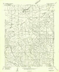
1957 · Shinarump NE
USGS Topo · 1:24,000
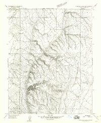
1957 · House Rock Spring NW
USGS Topo · 1:24,000
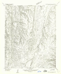
1957 · House Rock Spring SW
USGS Topo · 1:24,000