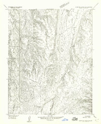
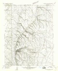
1957 Map of House Rock Spring SW
USGS Topo · Published 1958About this map
The Kaibab National Forest dominates this high-altitude landscape of northern Arizona, characterized by a complex network of drainage basins and high ridges. The terrain is defined by the sharp descent into Orderville Canyon and the surrounding wilderness of the Kaibab Game Preserve. Settlement is virtually non-existent in this 1957 survey, which instead highlights the critical water infrastructure required for ranching and forest management in such a remote environment. Small, essential water sources like Joes Reservoir, Government Reservoir, and various unnamed Tanks are scattered across the plateau, particularly near Summit Valley and Round Valley. This map captures a moment before modern development, focusing on the natural topography and primitive access routes through Wildhorse Park and along the North Fork and South Fork drainages.
Find a feature on this map
14 named features on this map. Tap any name to fly to it.
Don’t see what you’re looking for? This feature index may not catch every label — zoom into the map to look around manually.
Map Details
Editions of this 1957 House Rock Spring SW Map
This is the sole edition of this map. No revisions or reprints were ever made.
Other maps of this area

1886 · Kaibab
USGS Topo · 1:250,000

1936 · Jacobs Lake
USGS Topo · 1:48,000

1940 · Jacob Lake
USGS Topo · 1:62,500

1953 · Jacobs Lake
USGS Topo · 1:62,500

1953 · Grand Canyon
USGS Topo · 1:250,000
1954 · House Rock Spring NE
USGS Topo · 1:24,000
1954 · House Rock Spring SE
USGS Topo · 1:24,000

1957 · Grand Canyon
USGS Topo · 1:250,000
1957 · Shinarump NE
USGS Topo · 1:24,000
1957 · House Rock Spring NW
USGS Topo · 1:24,000