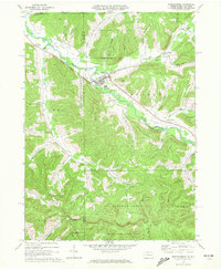
1969 Map of Shinglehouse
USGS Topo · Published 1972About this map
Oswayo Creek defines the valley floor of this northern Potter County landscape, where the Shinglehouse Oil Field punctuates the hillsides with dozens of active and historic wells. The borough of Shinglehouse serves as the primary center, showing its High Sch, the Maple Grove Cem, and local infrastructure like the Sewage Disposal plant. This late 1960s survey captures the area's transition from its industrial past to contemporary land management, visible in the extensive State Game Lands No 59 to the south.
Find a feature on this map
53 named features on this map. Tap any name to fly to it.
Don’t see what you’re looking for? This feature index may not catch every label — zoom into the map to look around manually.
Map Details
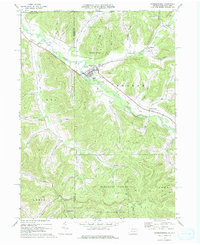
Editions of this 1969 Shinglehouse Map
2 editions found
Other maps of this area

1898 · Olean
USGS Topo · 1:62,500

1925 · Belmont
USGS Topo · 1:62,500

1933 · Smethport
USGS Topo · 1:62,500

1934 · Coudersport
USGS Topo · 1:48,000

1937 · Smethport
USGS Topo · 1:62,500

1938 · Coudersport
USGS Topo · 1:62,500

1938 · Olean
USGS Topo · 1:62,500

1939 · Belmont
USGS Topo · 1:62,500

1943 · Olean
USGS Topo · 1:62,500

1957 · Warren
USGS Topo · 1:250,000