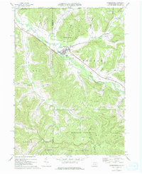
1969 Map of Shinglehouse
USGS Topo · Published 1976About this map
Shinglehouse Oil Field dominates the northern landscape of this Potter County quadrangle, where the industrial legacy of northwestern Pennsylvania is mapped alongside quiet valley settlements. The borough of Shinglehouse serves as the focal point, situated at the confluence of several prominent drainages. An Old Railroad Grade follows the curve of Oswayo Creek, tracing a path past Sunnyside and toward Sharon Center, marking the historic transportation corridor that once linked these timber and oil towns.
Find a feature on this map
52 named features on this map. Tap any name to fly to it.
Don’t see what you’re looking for? This feature index may not catch every label — zoom into the map to look around manually.
Map Details
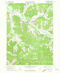
Editions of this 1969 Shinglehouse Map
2 editions found
Other maps of this area

1898 · Olean
USGS Topo · 1:62,500

1925 · Belmont
USGS Topo · 1:62,500

1933 · Smethport
USGS Topo · 1:62,500

1934 · Coudersport
USGS Topo · 1:48,000

1937 · Smethport
USGS Topo · 1:62,500

1938 · Coudersport
USGS Topo · 1:62,500

1938 · Olean
USGS Topo · 1:62,500

1939 · Belmont
USGS Topo · 1:62,500

1943 · Olean
USGS Topo · 1:62,500

1957 · Warren
USGS Topo · 1:250,000