
1954 Map of Shinumo Altar NE
USGS Topo · Published 1955About this map
Cedar Ridge Trading Post serves as a lone commercial outpost along Highway 89 in this mid-century survey of the Navajo Indian Reservation. The landscape is dominated by the dramatic verticality of the Echo Cliffs, which create a sharp topographic boundary overlooking Cornfield Valley. This arid environment is carefully indexed by its water sources, showing a reliance on catchment features like McClellan Tanks, Eagle Nest Reservoir, and the First Reservoir to sustain the remote high-desert economy. Beyond the primary road, the terrain is traversed by a network of Jeep Trails and washes, including Tanners Wash, which cut through the Cedar Ridge plateau. The map's contour work reveals the transition from the relatively flat valley floor to the prominent elevation of Red Hill, providing a detailed study of the region's geological structure before modern development altered the remote character of Coconino County.
Find a feature on this map
13 named features on this map. Tap any name to fly to it.
Don’t see what you’re looking for? This feature index may not catch every label — zoom into the map to look around manually.
Map Details
Editions of this 1954 Shinumo Altar NE Map
This is the sole edition of this map. No revisions or reprints were ever made.
Other maps of this area

1886 · Echo Cliffs
USGS Topo · 1:250,000

1891 · Echo Cliffs
USGS Topo · 1:250,000

1954 · Shinumo Altar SE
USGS Topo · 1:24,000

1954 · Tanner Wash
USGS Topo · 1:62,500

1954 · Shinumo Altar
USGS Topo · 1:62,500

1956 · Marble Canyon
USGS Topo · 1:250,000
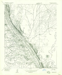
1957 · The Gap SW
USGS Topo · 1:24,000

1959 · Marble Canyon
USGS Topo · 1:250,000

1961 · Marble Canyon
USGS Topo · 1:250,000
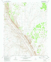
1981 · The Gap
USGS Topo · 1:24,000