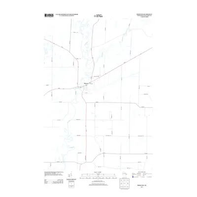
2013 Map of Shiocton
USGS Topo · Published 2013About this map
Wolf River meanders dramatically through Outagamie County, defining the geography of the village of Shiocton. The river's intricate oxbows and floodplains dominate the western half of the landscape, contrasting with the structured agricultural grid to the east. The intersection of several major regional routes, including Wi-54 and Wi-187, establishes the village as a local transportation hub.
Find a feature on this map
42 named features on this map. Tap any name to fly to it.
Don’t see what you’re looking for? This feature index may not catch every label — zoom into the map to look around manually.
Map Details
Editions of this 2013 Shiocton Map
This is the sole edition of this map. No revisions or reprints were ever made.
Other maps of this area

1955 · Embarrass
USGS Topo · 1:48,000

1955 · Appleton
USGS Topo · 1:24,000

1955 · Appleton
USGS Topo · 1:62,500

1955 · Seymour
USGS Topo · 1:62,500

1955 · Green Bay
USGS Topo · 1:250,000

1956 · New London
USGS Topo · 1:48,000

1969 · New London
USGS Topo · 1:24,000
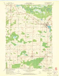
1969 · Hortonville
USGS Topo · 1:24,000

1969 · Leeman
USGS Topo · 1:24,000

1969 · Bear Creek
USGS Topo · 1:24,000