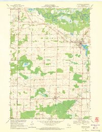
1969 Map of Hortonville
USGS Topo · Published 1971About this map
The Wolf River winds through the northern portion of this Outagamie County landscape, its broad meanders and oxbows defining the township of Liberty. To the south, the village of Hortonville is established at the eastern edge of Black Otter Lake, where the Chicago and North Western railway intersects with the local street grid. The map reveals a highly structured agricultural and industrial pattern, dotted with numerous Gravel Pits and quarries that hint at the region's geological utility.
Find a feature on this map
47 named features on this map. Tap any name to fly to it.
Don’t see what you’re looking for? This feature index may not catch every label — zoom into the map to look around manually.
Map Details
Editions of this 1969 Hortonville Map
2 editions found
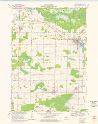
Other maps of this area

1955 · Green Bay
USGS Topo · 1:250,000

1956 · New London
USGS Topo · 1:48,000

1956 · Weyauwega
USGS Topo · 1:48,000

1961 · Poy Sippi
USGS Topo · 1:62,500

1961 · Oshkosh
USGS Topo · 1:62,500

1961 · Lake Poygan
USGS Topo · 1:24,000

1961 · Oshkosh NE
USGS Topo · 1:24,000

1961 · Oshkosh NW
USGS Topo · 1:24,000

1969 · New London
USGS Topo · 1:24,000

1969 · Readfield
USGS Topo · 1:24,000