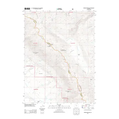
2013 Map of Shipman Mountain
USGS Topo · Published 2013About this map
The Medicine Bow Mountains dominate this high-altitude landscape along the border of Larimer and Jackson counties. This rugged interior is managed by both the Roosevelt National Forest and Routt National Forest, creating a protected wilderness corridor centered on Shipman Mountain. The map reveals an intricate network of water management through high-country irrigation, featuring the Medicine Bow Ditch, Ute Pass Ditch, and the William Kerr Ditch, which redirect snowmelt from tributaries like La Garde Creek and McNally Creek. In the southern reaches, the Canadian River cuts through the terrain near Williams Draw, while the East Sand Hills provide a distinct geological contrast to the forested peaks. Primitive transportation routes such as the Medicine Bow Trail 965 and McIntyre Trail 966 follow the natural contours of the land, connecting landmarks like Ute Pass and Shipman Park.
Find a feature on this map
38 named features on this map. Tap any name to fly to it.
Don’t see what you’re looking for? This feature index may not catch every label — zoom into the map to look around manually.
Map Details
Editions of this 2013 Shipman Mountain Map
This is the sole edition of this map. No revisions or reprints were ever made.
Other maps of this area

1916 · Home
USGS Topo · 1:125,000

1920 · Home
USGS Topo · 1:125,000

1950 · Kings Canyon
USGS Topo · 1:24,000

1952 · Kings Canyon
USGS Topo · 1:24,000

1954 · Greeley
USGS Topo · 1:250,000

1954 · Craig
USGS Topo · 1:250,000

1955 · Old Roach
USGS Topo · 1:24,000

1955 · Eagle Hill
USGS Topo · 1:24,000

1955 · Shipman Mountain
USGS Topo · 1:24,000

1955 · Gould NW
USGS Topo · 1:24,000