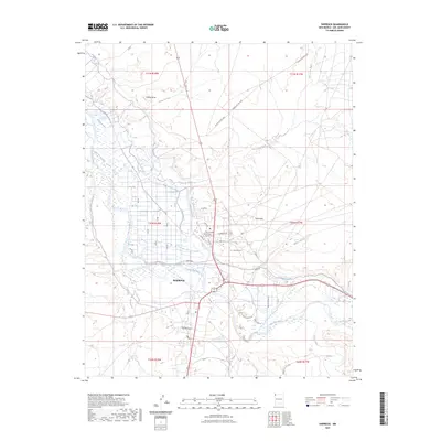
2023 Map of Shiprock
USGS Topo · Published 2023About this map
The San Juan River flows through the heart of Shiprock, serving as the primary geographic corridor for this community on the Navajo Nation. This 2023 survey illustrates the complex water management systems of the high desert, where the Hogback Canal and Ditch Number Eight divert water to support local agriculture. The town's institutional center is clearly defined by the Diné College Shiprock North Campus and the Shiprock Cem near the Sand Hills. Beyond the residential streets like Tachinii Blvd and Navajo St, the landscape is dominated by erosional features such as Yellow Butte and the confluence where the Chaco River and Many Devils Wash approach the main river valley. This modern record details the intersection of traditional land use and modern infrastructure in San Juan County.
Find a feature on this map
48 named features on this map. Tap any name to fly to it.
Don’t see what you’re looking for? This feature index may not catch every label — zoom into the map to look around manually.
Map Details
Editions of this 2023 Shiprock Map
This is the sole edition of this map. No revisions or reprints were ever made.
Other maps of this area

1889 · Chaco
USGS Topo · 1:250,000

1892 · Chaco
USGS Topo · 1:250,000

1927 · Sulphur Spring
USGS Topo · 1:96,000

1928 · Kirtland
USGS Topo · 1:125,000

1932 · Kirtland
USGS Topo · 1:125,000

1934 · Ship Rock
USGS Topo · 1:62,500

1934 · Chimney Rock
USGS Topo · 1:62,500

1934 · Rattlesnake
USGS Topo · 1:62,500

1936 · Chimney Rock
USGS Topo · 1:62,500

1937 · Ship Rock
USGS Topo · 1:62,500