Loading...
Loading map...2022 Map of Shipshewana
USGS Topo · Published 2022About this map
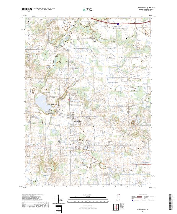
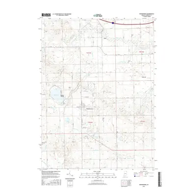
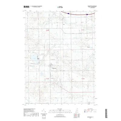
Shipshewana serves as the central hub of this agricultural landscape in LaGrange County, characterized by a sophisticated network of drainage infrastructure. The map documents an intricate system of man-made waterways, including Truesdale Ditch, Van Natta Ditch, and Hostetler Ditch, which manage the low-lying terrain around Cotton Lake and Rainbow Lake. These ditches illustrate the historical effort to reclaim and maintain tillable farmland in northern Indiana.
Find a feature on this map
56 named features on this map. Tap any name to fly to it.
Don’t see what you’re looking for? This feature index may not catch every label — zoom into the map to look around manually.
Map Details
Date Portrayed2022
Date Published2022
PublisherU.S. Geological Survey
Map TypeTopographic
Scale1:24,000
Physical Dimensions24 x 29 inches
Editions of this 2022 Shipshewana Map
This is the sole edition of this map. No revisions or reprints were ever made.
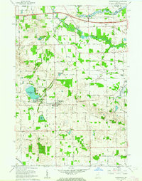
Historical Maps of Shipshewana Through Time
6 maps found
Featured Locations
Source Details
SourceU.S. Geological Survey
CopyrightPublic Domain