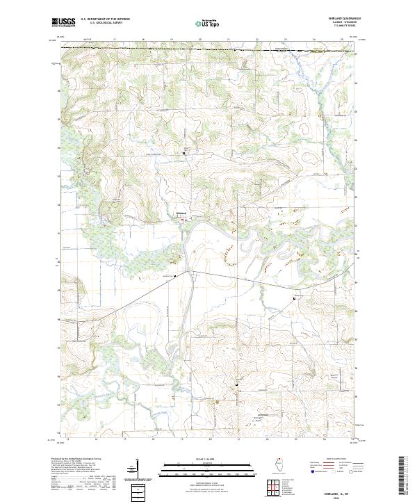
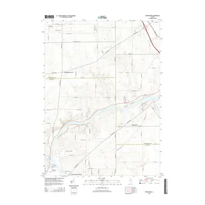
2024 Map of Shirland
USGS Topo · Published 2024About this map
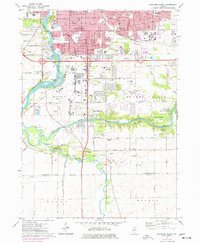
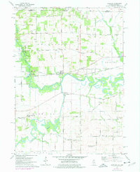
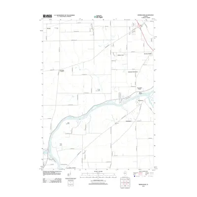
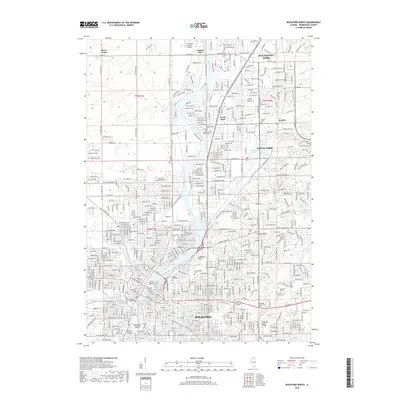
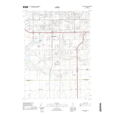
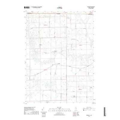
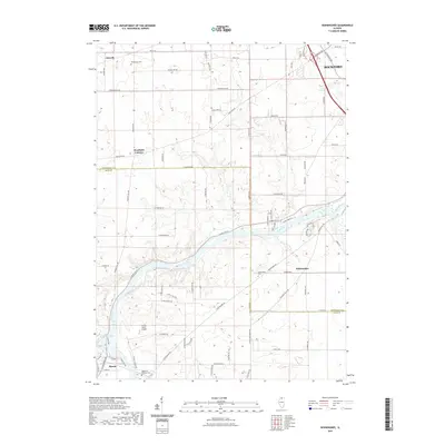
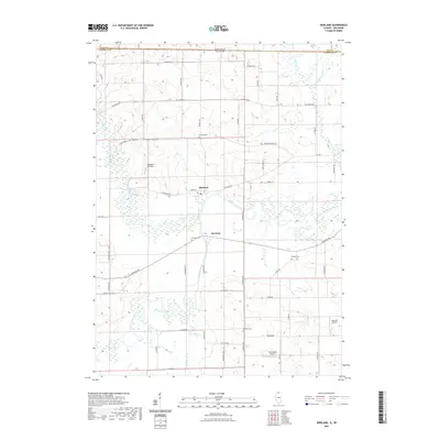
The confluence of the Sugar River and the Pecatonica River defines this northern Winnebago County landscape, where the meandering waterways dictate the placement of roads and settlements. Near the village of Shirland, the river network creates a complex system of wetlands and oxbows, much of which is conserved within the Sugar River Forest Preserve. The map reveals a rural economy supported by a network of local thoroughfares like Yale Bridge Rd and Freeport Rd, punctuated by several private aviation strips including Loeppert CPL-Aero and Severson Airport. For local historians, the placement of the Shirland Cem, Harrison Cem, and Meridian Cem provides a clear view of early community centers along the Wisconsin Illinois border. This modern survey by the U.S. Geological Survey preserves the names of small drainages like Rhule Creek and Tunnison Creek that feed the larger river basins.
Find a feature on this map
61 named features on this map. Tap any name to fly to it.
Don’t see what you’re looking for? This feature index may not catch every label — zoom into the map to look around manually.
Map Details
Editions of this 2024 Shirland Map
This is the sole edition of this map. No revisions or reprints were ever made.
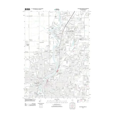
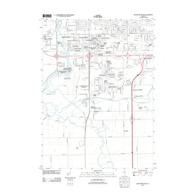
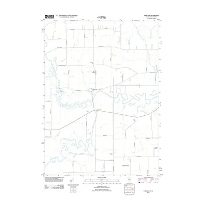
Historical Maps of Shirland Through Time
27 maps found
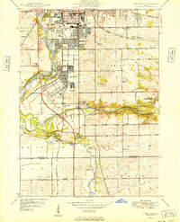
1949 Camp Grant
Winnebago County, IL
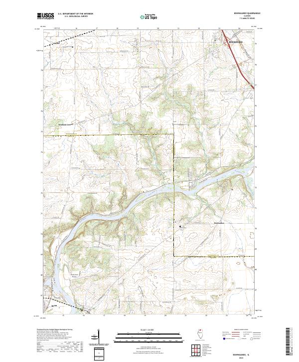
1971 Kishwaukee
Winnebago County, IL
1971 Rockford North
Winnebago County, IL
1971 Rockford South
Winnebago County, IL
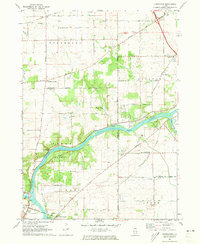
1971 Shirland
Winnebago County, IL
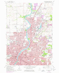
1993 Rockford North
Winnebago County, IL
1993 Rockford South
Winnebago County, IL
2012 Kishwaukee
Winnebago County, IL
2012 Rockford North
Winnebago County, IL
2012 Rockford South
Winnebago County, IL
2012 Shirland
Winnebago County, IL
2015 Kishwaukee
Winnebago County, IL

2015 Rockford North
Winnebago County, IL
2015 Rockford South
Winnebago County, IL
2015 Shirland
Winnebago County, IL
2018 Kishwaukee
Winnebago County, IL
2018 Rockford North
Winnebago County, IL
2018 Rockford South
Winnebago County, IL
2018 Shirland
Winnebago County, IL
2021 Kishwaukee
Winnebago County, IL
2021 Rockford North
Winnebago County, IL
2021 Rockford South
Winnebago County, IL
2021 Shirland
Winnebago County, IL
2024 Kishwaukee
Winnebago County, IL
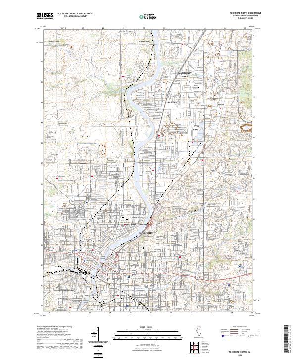
2024 Rockford North
Winnebago County, IL
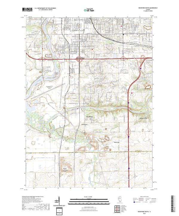
2024 Rockford South
Winnebago County, IL
2024 Shirland
Winnebago County, IL
Featured Locations
- Avon, WI
- Harrison Township, IL
- Shirland Township, IL
- Harrison, Harrison Township
- Shirland, Shirland Township