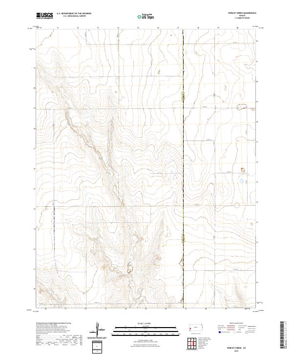
2022 Map of Shirley Creek
USGS Topo · Published 2022About this map
The boundary between Hamilton Co and Kearny Co divides this expansive landscape of the High Plains, where the drainage of Shirley Creek creates a complex network of draws and breaks. The terrain is defined by the Public Land Survey System, with the map covering portions of t22s r39w, t23s r39w, and t23s r38w. This geometry is further reinforced by a rigid grid of section-line roads, including Co Rd 11 and Co Rd 13, which serve as the primary conduits for the agricultural economy of the region.
Find a feature on this map
18 named features on this map. Tap any name to fly to it.
Don’t see what you’re looking for? This feature index may not catch every label — zoom into the map to look around manually.
Map Details
Editions of this 2022 Shirley Creek Map
This is the sole edition of this map. No revisions or reprints were ever made.
Other maps of this area

1891 · Larned
USGS Topo · 1:125,000

1900 · Syracuse
USGS Topo · 1:125,000

1900 · Lakin
USGS Topo · 1:125,000

1920 · Syracuse
USGS Topo · 1:125,000

1955 · Dodge City
USGS Topo · 1:250,000

1955 · Scott City
USGS Topo · 1:250,000

1958 · Dodge City
USGS Topo · 1:250,000

1958 · Scott City
USGS Topo · 1:250,000

1959 · Dodge City
USGS Topo · 1:250,000

1965 · Leoti 3 NW
USGS Topo · 1:24,000