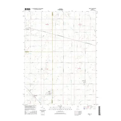
2016 Map of Shirley
USGS Topo · Published 2016About this map
The town of Shirley sits at the junction of three Central Indiana counties—Madison, Hancock, and Henry—reflecting the region's historical administrative complexity. This area is characterized by a dense network of agricultural waterways, such as Sixmile Cr and Sugar Cr, which have been heavily modified through various drainage projects like Wilkinson Ditch, Pee Dee Ditch, and Chadwick Ditch. These ditches underscore the era's focus on converting low-lying prairie or wetlands into productive farmland.
Find a feature on this map
96 named features on this map. Tap any name to fly to it.
Don’t see what you’re looking for? This feature index may not catch every label — zoom into the map to look around manually.
Map Details
Editions of this 2016 Shirley Map
This is the sole edition of this map. No revisions or reprints were ever made.
Other maps of this area

1949 · New Castle West
USGS Topo · 1:24,000

1950 · Dunreith
USGS Topo · 1:24,000

1952 · Anderson
USGS Topo · 1:24,000

1953 · Pendleton
USGS Topo · 1:24,000

1953 · Cincinnati
USGS Topo · 1:250,000

1953 · Muncie
USGS Topo · 1:250,000

1956 · Muncie
USGS Topo · 1:250,000

1956 · Cleveland
USGS Topo · 1:24,000

1957 · Cincinnati
USGS Topo · 1:250,000

1960 · New Castle West
USGS Topo · 1:24,000