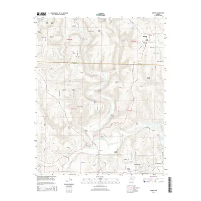
2014 Map of Shirley
USGS Topo · Published 2014About this map
The Middle Fork Little Red River carves a winding path through this region of the Ozark foothills, dictating the development of the riverfront town of Shirley. Here, the local topography is defined by sharp elevation changes between prominent peaks like John Henry Mtn and Payne Mtn, and the narrow drainage basins of Bear Br and Indian Cr. The map captures the interface between traditional river valley settlements and the more modern development at Fairfield Bay to the southeast. Genealogists will find significant value in the distribution of family-named landmarks and rural burial sites, including Settlement Cem near the river and Rushing Cem in the northern hills near Rushing. Distinctive natural features like the Chimney Rocks and Buffalo Hump stand as enduring landmarks in a landscape transitioning toward the waters of Greers Ferry Lake.
Find a feature on this map
118 named features on this map. Tap any name to fly to it.
Don’t see what you’re looking for? This feature index may not catch every label — zoom into the map to look around manually.
Map Details
Editions of this 2014 Shirley Map
This is the sole edition of this map. No revisions or reprints were ever made.
Other maps of this area

1892 · Mountain View
USGS Topo · 1:125,000

1894 · Mountain View
USGS Topo · 1:125,000

1956 · Russellville
USGS Topo · 1:250,000

1964 · Russellville
USGS Topo · 1:250,000

1969 · Mountain View SW
USGS Topo · 1:24,000
1969 · Fox
USGS Topo · 1:24,000
1973 · Fairfield Bay
USGS Topo · 1:24,000
1973 · Greers Ferry
USGS Topo · 1:24,000
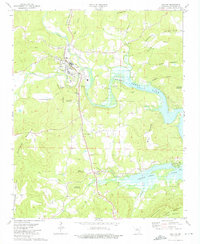
1973 · Clinton
USGS Topo · 1:24,000
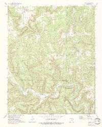
1973 · Oxley
USGS Topo · 1:24,000